What is recorded here
The official Northern Ireland wreck record identifies Browning as Steam cargo liner. It was lost in 1942. Recorded depth: 6m.
The *Browning* was a steam cargo liner lost in 1942, likely due to enemy action during World War II. It sank in 6 meters of water, with no specific details on lives or cargo lost, though its wartime loss adds historical significance.
A wreck point does not grant access or permission to dive, enter land, disturb the site or recover anything. Check current law and local conditions first.
Places near here
 Millin Bay CairnArchaeological place · 1.2 mi
 PLATFORM RATH in BallyfounderPLATFORM RATH · 1.5 mi
 Quintin CastleCountry House · 1.6 mi
 Ballyquintin Point Nature ReserveNature reserve · 1.8 mi
 MEDIEVAL CHURCH & GRAVEYARD: BALLYTRUSTAN; THRUSTAYNISTONE in BallytrustanMEDIEVAL CHURCH & GRAVEYARD: BALLYTRUSTAN; THRUSTAYNISTONE · 2.1 mi
 Kearney Coastal Walk, KearneyWalking route · 2.4 mi
 Sandy IslandIslet · 2.9 mi
 Strangford Holiday Park Picnic AreaPicnic place · 3.0 mi
 Kilclief BeachBeach / strand · 3.0 mi
 Mullog PointHeadland · 3.1 mi
 Kilclief CastleCastle · 3.1 mi
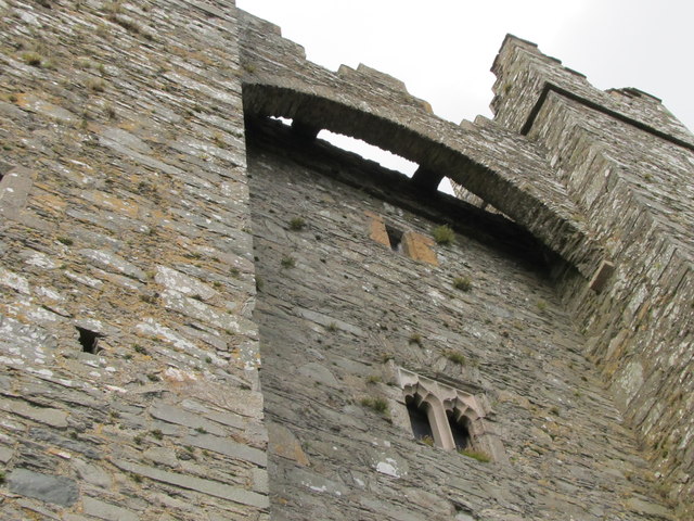 TOWER-HOUSE & C13th COFFIN LID: KILCLIEF CASTLE in KilcliefTOWER-HOUSE & C13th COFFIN LID: KILCLIEF CASTLE · 3.1 mi