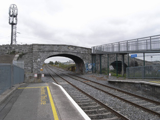
What is recorded here
Two-arch limestone canal bridge of c.1790 and railway bridge of c.1845, carrying Broombridge Road on north-south axis over Royal Canal (north) and Dublin-Sligo railway line (south). Random coursed squared calp limestone walls with shallow piers flanking each arch having limestone ashlar plat-band to base of parapets and limestone ashlar coping. Elliptical arch to train bridge has rusticated limestone ashlar voussoirs and skewed squared calp soffit. Round arch to canal bridge has tooled limestone voussoirs and keystone with squared calp soffit. Canal bridge has Portland limestone plaque to northwest spandrel with inscription commemorating formula for quaternions devised by William Rowan Hamilton. Rubble stone embankment walls to either end have stacked coping. Break in east parapet provides access to steel footbridge to Broombridge Station. Tarmac carriageway follows steep gradient to both north and south approaches.
Named after William Broome, a director of the Royal Canal Company. The canal section of the bridge is no doubt the older structure. It is of considerable significance for its associations with William Rowan Hamilton who. on the 16th October 1843, inscribed his mathematical formula for quaternions on to the bridge when out walking with his wife. The plaque under the bridge was unveiled by the Taoiseach Éamon de Valera, himself a mathematician and student of quaternions,on 13th November 1958. The railway bridge probably dates from the 1840s, while the two crossings now form a most appealing historic structure in the landscape at a junction of public transport and public amenity.
This does not grant access. Most recorded buildings are privately owned; view them only from public ground unless the owner allows entry.
Places near here
 William Rowan Hamilton PlaqueMemorial · 20 yd
 Finglaswood Bridgebridge · 418 yd
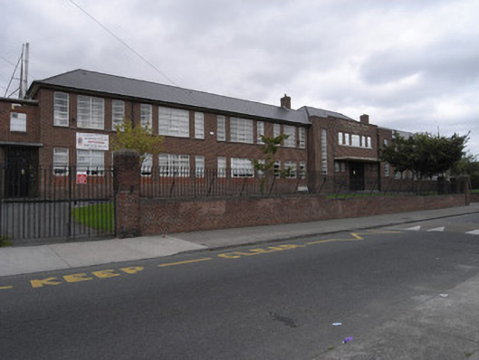 Saint Finbarr's Boys National Schoolschool · 491 yd
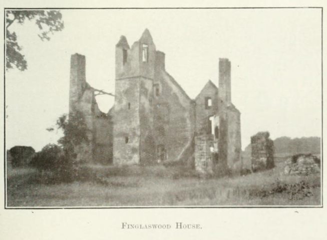 Finglaswood HouseCastle, tower house · 597 yd
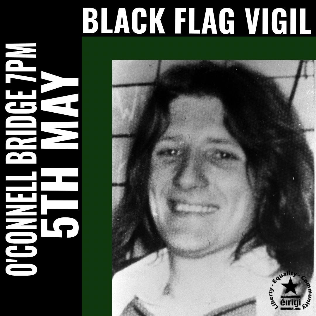 1981 Hunger StrikersMemorial · 1073 yd
 Enclosure in Unknown TownlandEnclosure · 1450 yd
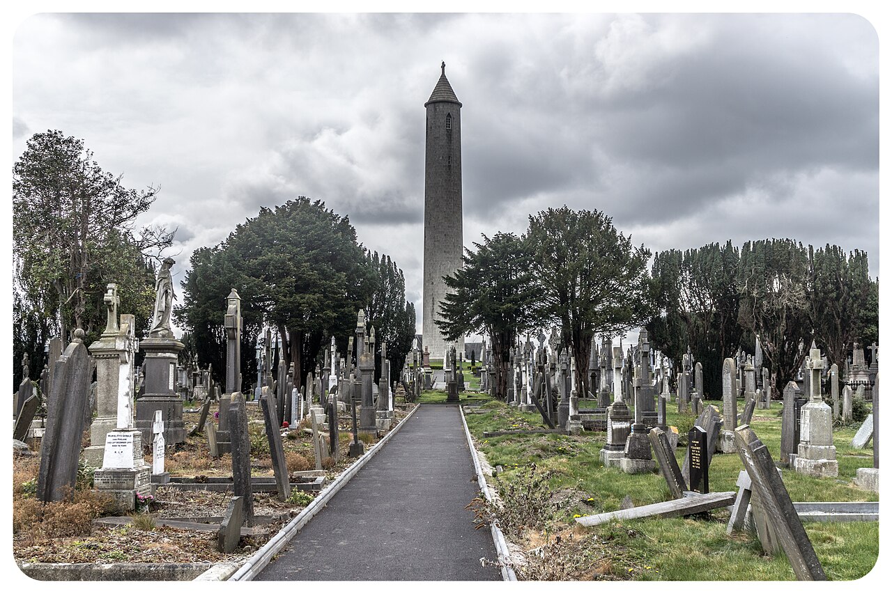 Glasnevin CemeteryHistoric cemetery · 1551 yd
 Graveslab (present location) in Unknown TownlandGraveslab (present location) · 1597 yd
 UHVisitor information · 1618 yd
 SHVisitor information · 1628 yd
 The O'Connell TowerHeritage attraction · 1684 yd
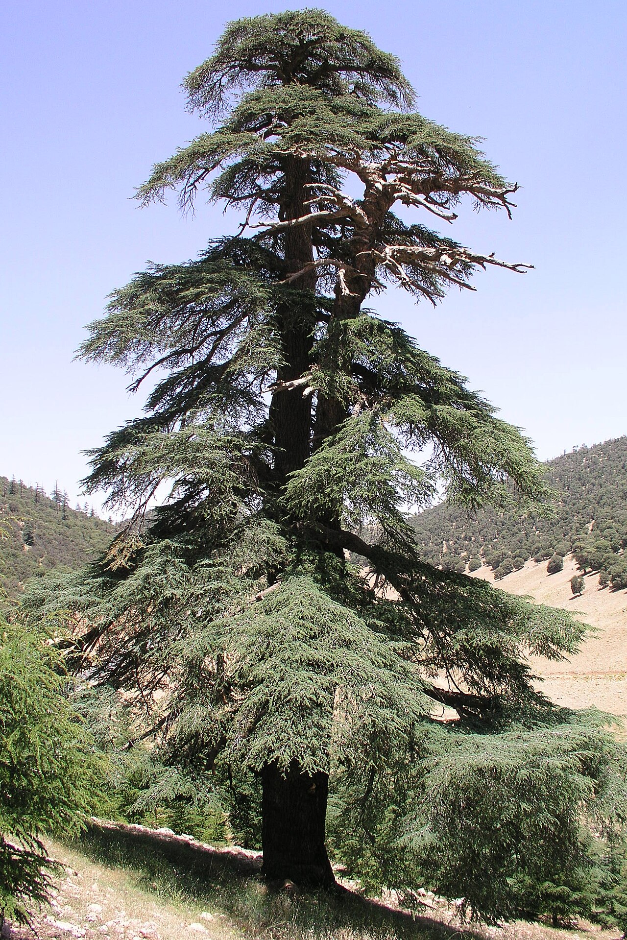 Atlas CedarAtlas Cedar · 1.1 mi
Other information
Photo: National Inventory of Architectural Heritage · Website use allowed for educational or private purposes with source credit