What is recorded here
Hot charcoal still marks the ground where people lived and worked during the Bronze Age in Strangford Lower. The settlement and burnt mound preserve a sudden, smoky moment when stone, heat and daily life became one archaeological trace.
The official Northern Ireland record identifies this as BRONZE AGE SETTLEMENT & BURNT MOUND. Recorded period: BRONZE AGE; PREHISTORIC. The official map point was placed at the centre of the recorded archaeological site from the source map reference.
Bronze Age settlement and burnt mound; dates to the Prehistoric period, approximately 2500–800 BCE. This site provides evidence of domestic and ritual activity, typical of Bronze Age communities in the Strangford area.
The monument record does not grant public access. Check the route and ask the landowner before entering private land.
- What survives
- Recorded monument
Places near here
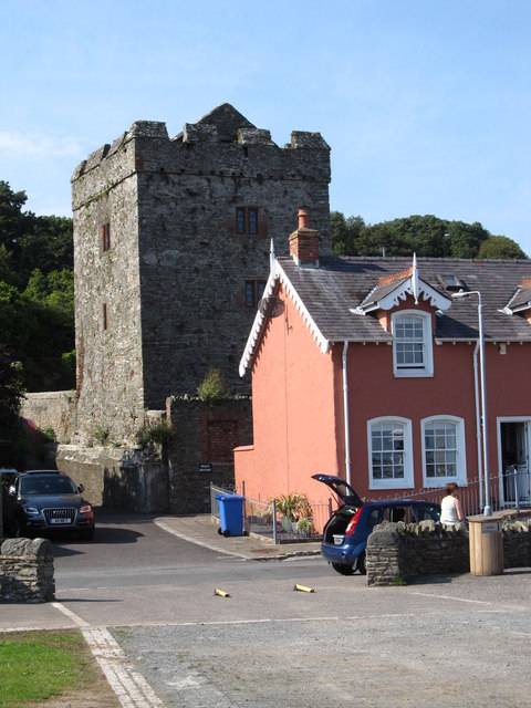 TOWER-HOUSE: STRANGFORD CASTLE in Strangford LowerTOWER-HOUSE: STRANGFORD CASTLE · 166 yd
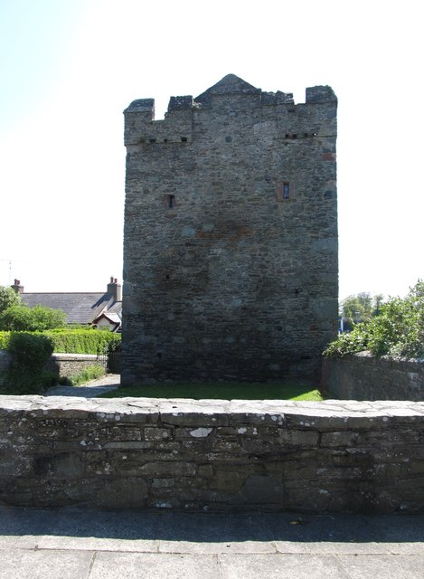 Strangford CastleCastle · 168 yd
 STONE QUAY in Strangford LowerSTONE QUAY · 204 yd
 Swan IslandIslet · 363 yd
 Strangford Presbyterian ChurchChurch · 392 yd
 Cranes' CornerHeadland · 530 yd
 QUAY in CastlewardQUAY · 1161 yd
 Boat HouseBoat House · 1213 yd
 Audley's CastleHeritage attraction · 1406 yd
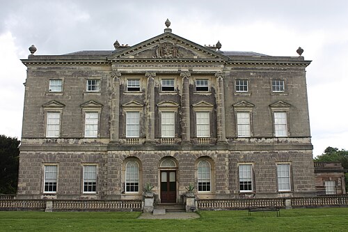 Castle WardCastle · 1477 yd
 Sandy IslandIslet · 1586 yd
 Audleystown WoodWood · 1620 yd