What is recorded here
The official Northern Ireland record identifies this as BRONZE AGE HUT or WINDBREAK. Recorded period: BRONZE AGE. The official map point was placed at the centre of the recorded archaeological site from the source map reference.
The monument record does not grant public access. Check the route and ask the landowner before entering private land.
- What survives
- Recorded monument
Places near here
 BRONZE AGE HUT and EARLY MED ENCLOSURE. in BallywardBRONZE AGE HUT and EARLY MED ENCLOSURE. · 1.3 mi
 Parkanaur Manor HouseCastle · 1.3 mi
 Parkanaur Forest ParkHeritage attraction · 1.4 mi
 Upper Clonaneese Presbyterian ChurchChurch · 1.4 mi
 ENCLOSURE: TREE-RING in ReaskcorENCLOSURE: TREE-RING · 1.8 mi
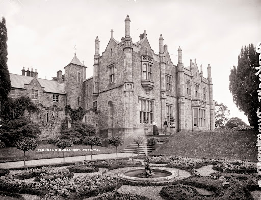 Historic Settlement Castlecaulfield in DrumreanyHistoric Settlement Castlecaulfield · 2.4 mi
 CastlecaufieldCastle · 2.5 mi
 MEDIEVAL PARISH CHURCH; GRAVEYARD also SITE OF C13th BATTLE: CARNTEEL CHURCH in CarnteelMEDIEVAL PARISH CHURCH; GRAVEYARD also SITE OF C13th BATTLE: CARNTEEL CHURCH · 4.0 mi
 Margaret Elizabeth NobleMemorial · 4.8 mi
 Dungannon War MemorialMemorial · 4.9 mi
 Ranfurly HouseMuseum · 4.9 mi
 Windmill WoodWood · 5.3 mi