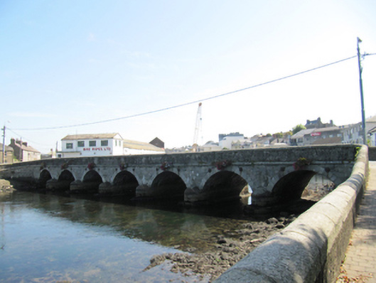
What is recorded here
Seven-arch stone bridge spanning Leitrim River, built c.1690, widened to north, 1862; having segmental arches and V-cutwaters to both elevations. Rubble stone walls and parapet walls to south elevation of bridge, with cast-iron tie-bars, dressed granite voussoirs and cut granite coping to parapet wall. Snecked rock-faced rusticated granite walls to north elevation, with cut granite string course and rendered parapet walls with cut granite coping, and cut granite voussoirs. Rubble stone quay walls, having cut granite coping, with pedestrian gateways with dressed stone steps and recent gates to east and west quay walls.
An impressive bridge built in two phases, the first phase was funded by subscription. It displays the development of bridge construction from the seventeenth to the nineteenth centuries. Lewis refers to an eight-arch bridge in 1837, and it appears that one arch was subsequently blocked. The older part of the bridge shows the rough-hewn stone and simple form of its time, while the nineteenth century shows more articulation and formal definition with a string course and voussoirs of cut stone. Henry Brett, previously county surveyor of Offaly, Mayo and Waterford, was responsible for the nineteenth-century works. The bridge and quays make an important contribution to the townscape. The quays are also a reminder of the long history of Wicklow town as a port.
This does not grant access. Most recorded buildings are privately owned; view them only from public ground unless the owner allows entry.
Places near here
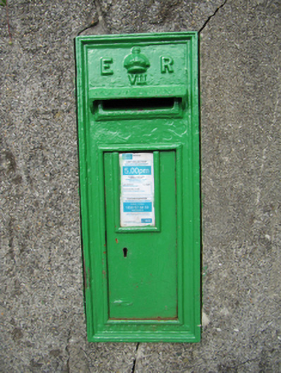 post boxpost box · 64 yd
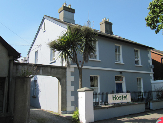 Leitrim Lodgehouse · 77 yd
 Font (present location) in Glebe (newcastle By., Wicklow Urban Ed) (detached Portion)Font (present location) · 391 yd
 Round MountCastle, motte · 472 yd
 Black Castle (in ruin)Castle, Anglo-Norman masonry castle · 772 yd
 Enclosure in Ballyguile MoreEnclosure · 1.1 mi
 Glen Beach Cliff WalkWalking route · 1.4 mi
 Silver StrandBeach / strand · 2.3 mi
 Sessile OakSessile Oak · 2.6 mi
 Kilpoole BeachBeach / strand · 2.7 mi
 Sweet ChestnutSweet Chestnut · 2.7 mi
 Carrick MountainMountain / peak · 5.2 mi
Other information
Photo: National Inventory of Architectural Heritage · Website use allowed for educational or private purposes with source credit