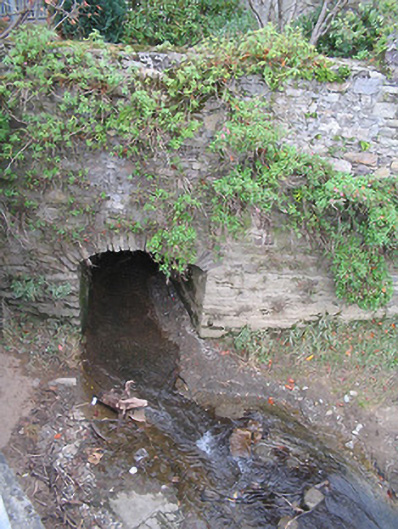
What is recorded here
Single-arch rubble stone culvert over stream, c.1800. Random rubble stone walls with cut-stone coping to parapet. Single segmental arch with rubble stone voussoirs, and rubble stone soffits. Sited spanning stream at confluence with River Nore.
A small-scale bridge representing an element of the late eighteenth- or early nineteenth-century civil engineering heritage of Thomastown.
This does not grant access. Most recorded buildings are privately owned; view them only from public ground unless the owner allows entry.
Places near here
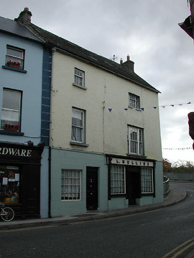 L. Mullinshouse · 13 yd
 bridgebridge · 37 yd
 Font in ThomastownFont · 37 yd
 CrossCross, High cross · 159 yd
 Oliver (Ollie) WalshMemorial · 221 yd
 The Yellow GateMemorial · 241 yd
 CastleCastle, Anglo-Norman masonry castle · 921 yd
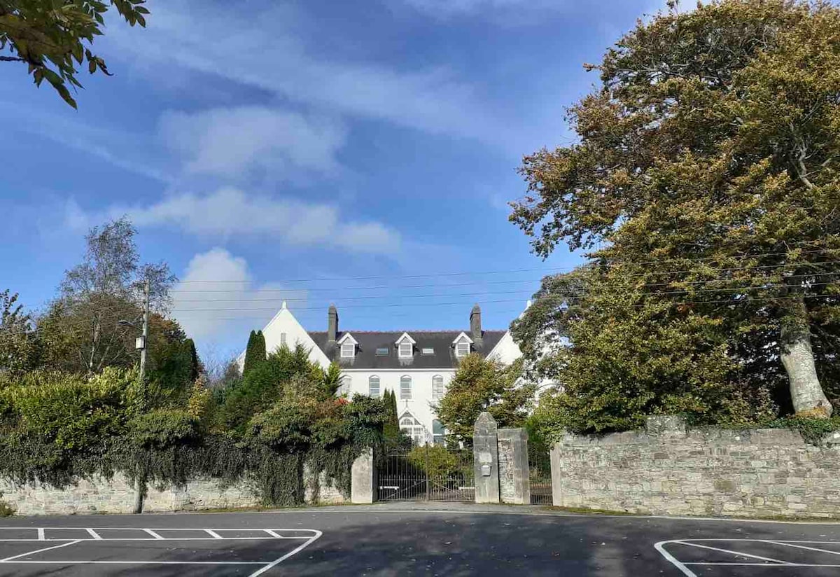 Thomastown QuarryNature reserve · 1326 yd
 Fox CovertForest · 1668 yd
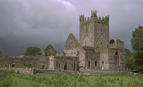 Jerpoint AbbeyHeritage attraction · 1.2 mi
 Bawn in LeganBawn · 1.3 mi
 Holy WellSpring · 1.3 mi
Other information
Photo: National Inventory of Architectural Heritage · Website use allowed for educational or private purposes with source credit