
What is recorded here
Single-span railway bridge over road, opened 1895; extant 1895. Closed, 1975. Now disused. Tuck pointed snecked rock faced limestone walls between benchmark-inscribed tuck pointed snecked rock faced limestone battered abutment walls with rock faced cut-limestone stringcourses supporting creeper- or ivy-covered piers having shallow pyramidal capping centred on riveted cast-iron girder span. Sited spanning road with unkempt grass embankments to road.
A bridge identified as an integral component of the late nineteenth-century civil engineering heritage of the outskirts of Swinford on account of the connections with the development of the Waterford Limerick and Western Railway (WLWR) line by the Waterford Limerick and Western Railway (WLWR) Company, the so-called "Burma Road" opened (1895) in response to Arthur James Balfour's Light Railways (Ireland) Act, 1889: meanwhile, a discreet benchmark remains of additional interest for the connections with cartography and the preparation of maps by the Ordnance Survey (established 1824).
This does not grant access. Most recorded buildings are privately owned; view them only from public ground unless the owner allows entry.
Places near here
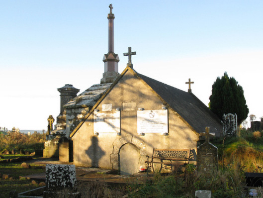 mausoleummausoleum · 415 yd
 Procession Of The SoulsMemorial · 909 yd
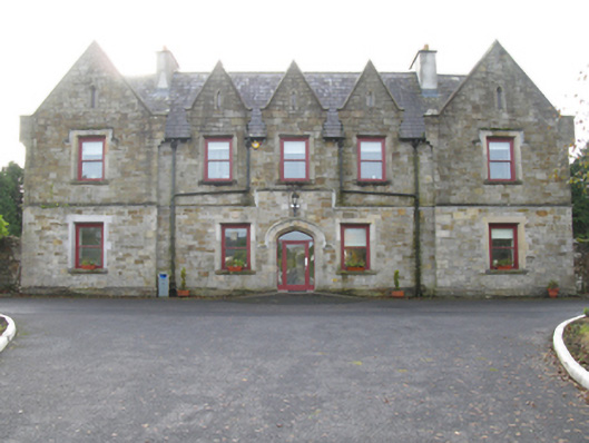 Swinford Union Workhouseworkhouse · 1132 yd
 Enclosure in LagcurraghEnclosure · 1282 yd
 IndicatedFairy fort / earthen ringfort · 1425 yd
 Brabazon WoodsForest · 1455 yd
 Youth Memorial GardenMemorial · 1494 yd
 HawthornHawthorn · 2.1 mi
 Castle (in Ruins)Castle, unclassified · 2.4 mi
 Hennigan's Heritage CentreHeritage attraction · 2.5 mi
 Thorn CaveCave · 4.2 mi
 Kiltimagh MuseumMuseum · 7.5 mi
Other information
Photo: National Inventory of Architectural Heritage · Website use allowed for educational or private purposes with source credit