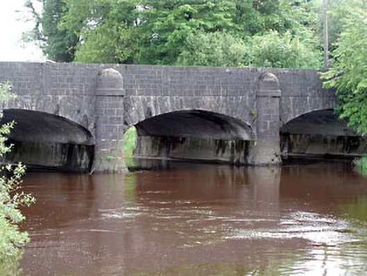
What is recorded here
Five-arch bridge over river, built 1832. Part ivy-covered walls centred on limestone ashlar rounded cutwater piers on swept battered bases having domed capping with repointed coursed cut-limestone parapets having cut-limestone coping. Series of five elliptical arches with repointed rock faced limestone ashlar radiating voussoirs centred on repointed rock faced cut-limestone keystones. Sited spanning River Barrow with unkempt banks to river.
A bridge representing an important component of the early nineteenth-century civil engineering heritage of Monasterevin with the architectural value of the composition confirmed not only by the construction in a deep grey limestone with robust rock faced dressings providing an interplay of light and shade in an otherwise monochrome palette, but also by the elegant "sweep" of the arches making a pleasing visual statement at a crossing over the River Barrow: meanwhile, a benchmark remains of additional interest for the connections with cartography and the preparation of maps by the Ordnance Survey (established 1824). NOTE: The bridge succeeded a nearby bridge erected (1771) by Charles Moore (1730-1822), sixth Earl of Drogheda, and was built 'in a direct line with the [Dublin Road] so that the former sharp and dangerous turn [was] avoided' (Lewis 1837 II, 386). A pillbox, now overgrown, was installed by the Monasterevin Local Defence Force to defend the town from potential invasion by aggressors during "The Emergency" (1939-46).
This does not grant access. Most recorded buildings are privately owned; view them only from public ground unless the owner allows entry.
Places near here
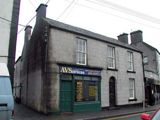 Library Lodgehouse · 88 yd
 Prendergast Monumentmonument · 97 yd
 Font in Mooreabbey DemesneFont · 242 yd
 European YewEuropean Yew · 456 yd
 IndicatedHoly well · 800 yd
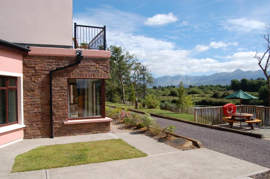 Lodge GroveWood · 834 yd
 Bawn in Lackagh BegBawn · 3.5 mi
 Lea Castle (in ruins)Castle, Anglo-Norman masonry castle · 3.7 mi
 Church (in Ruins), GraveyardChurch · 4.2 mi
 Bog Lake WalkWalking route · 5.7 mi
 Derryounce Walk (Yellow Loop)Walking route · 5.9 mi
 Bithia Mary CrokerMemorial · 6.4 mi
Other information
Photo: National Inventory of Architectural Heritage · Website use allowed for educational or private purposes with source credit