
What is recorded here
The present bridge is on the site of a bridge which is marked on the Down Survey (1655-6) parish map.
The monument record does not grant public access. Check the route and ask the landowner before entering private land.
- What survives
- Recorded monument
Places near here
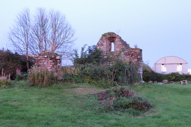 Bluebell Church (ruins)Ruins · 173 yd
 Our Lady of the Waysidechurch/chapel · 189 yd
 Carriglea Industrial EstateMemorial · 207 yd
 Tumulus (site of)Linkardstown burial · 1091 yd
 Mote (site of)Castle, motte · 1637 yd
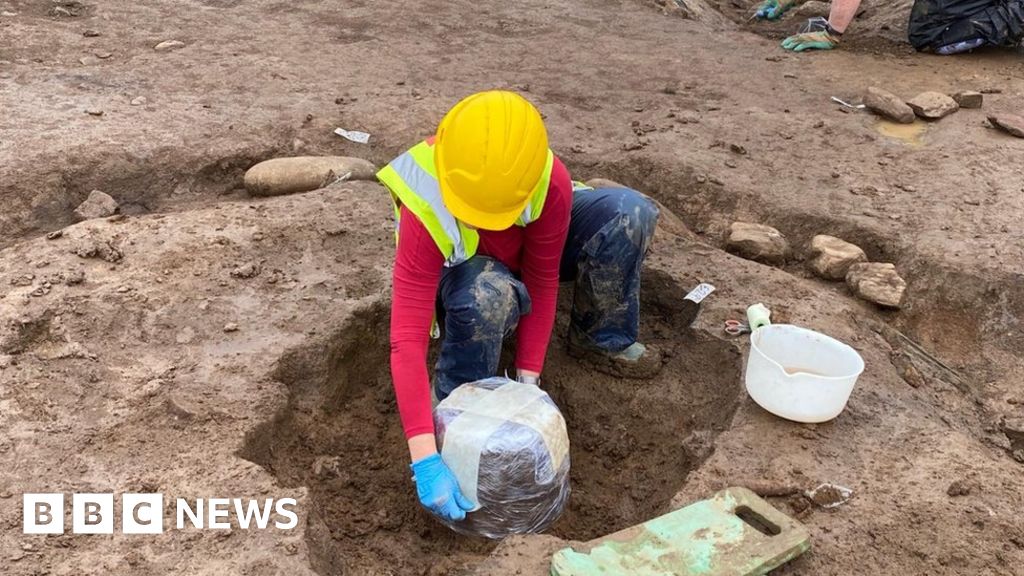 Urn burials (site of)Flat cemetery · 1.0 mi
 Irish Citizen ArmyMemorial · 1.2 mi
 Toni'sPicnic place · 1.3 mi
 Kilmainham Jail MuseumMuseum · 1.5 mi
 Gairdín Foirmiúil Ospidéal Ríoga Chill MhaighneannVisitor information · 1.9 mi
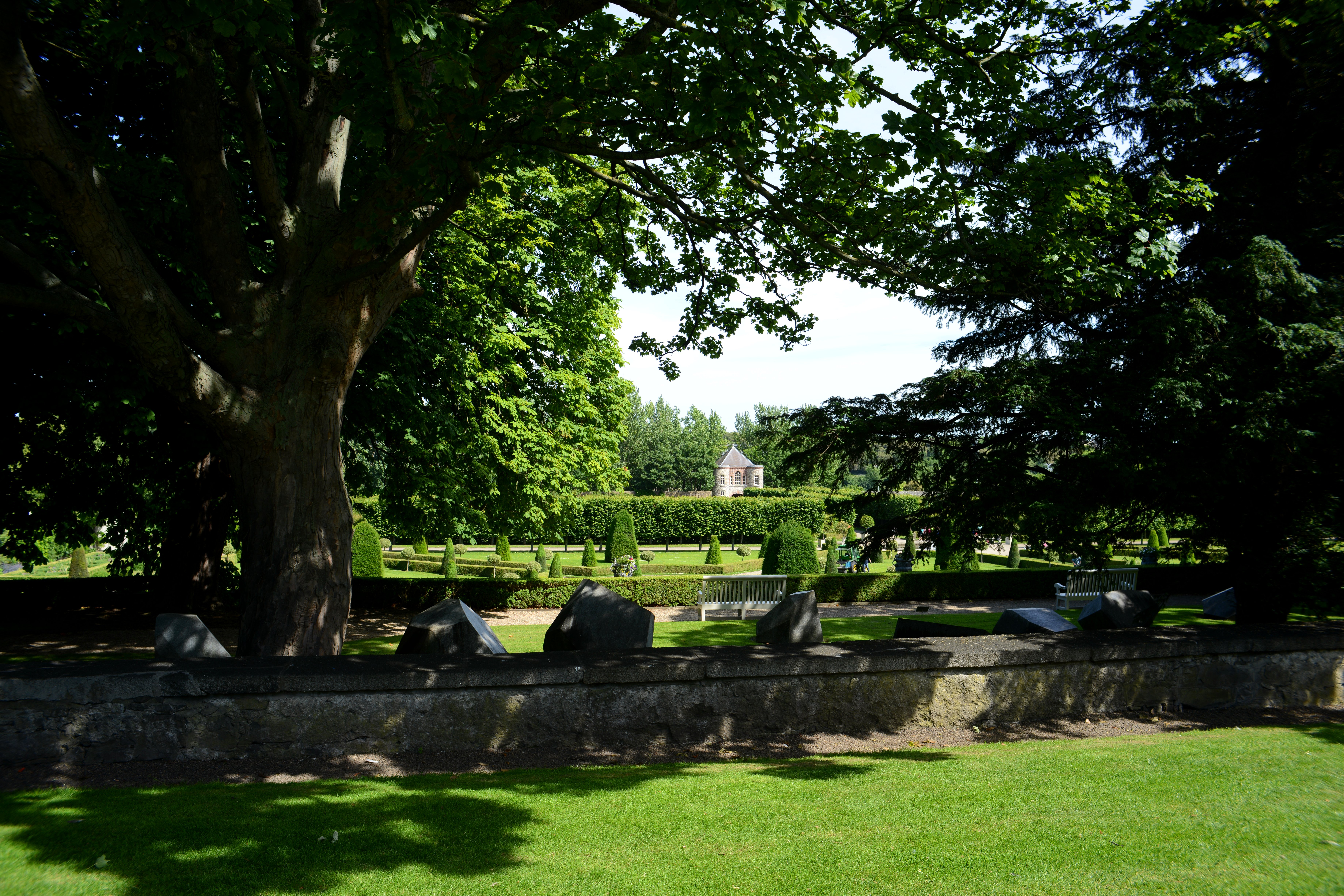 The Formal Garden at The Royal Hospital KilmainhamHeritage attraction · 1.9 mi
 Horse-chestnutHorse-chestnut · 2.0 mi
Other information
Photo: Credit not shown in the picture search · Rights wording not checked; contact us if this picture should be removed