/https%3A%2F%2Ftf-cmsv2-photocontest-smithsonianmag-prod-approved.s3.amazonaws.com%2Fd6432246-a684-4dac-bbfd-6c484fe5b6c0.jpg)
What is recorded here
Known as 'St. Nicholas' Bridge, this spanned the Poddle River immediately outside St. Nicholas' Gate (Bradley & King 1987, 1, 38). Shown on Clarkes map (FMD map 1978; C2). There are no visible remains above ground.
Compiled by : Geraldine Stout
Date of upload: 2 August 2012
This remains an important historical record, but the official description says the monument is no longer visible or has been destroyed. The monument record does not grant public access. Check the route and ask the landowner before entering private land.
- What survives
- No visible remains or recorded as destroyed
Places near here
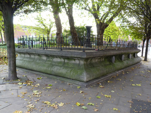 public conveniencepublic convenience · 28 yd
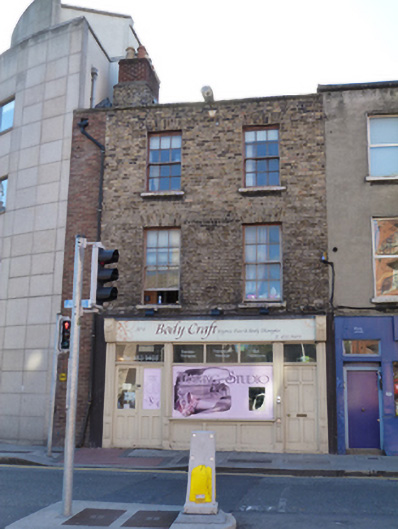 Body Craft Spahouse · 34 yd
 Font in Unknown TownlandFont · 86 yd
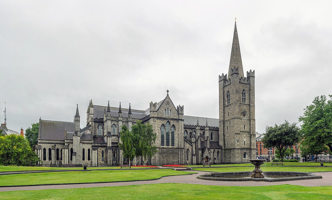 Saint Patrick's CathedralHeritage attraction · 111 yd
 Cathed., St. PatricksCathedral · 111 yd
 Site of Saint Patrick's wellMemorial · 143 yd
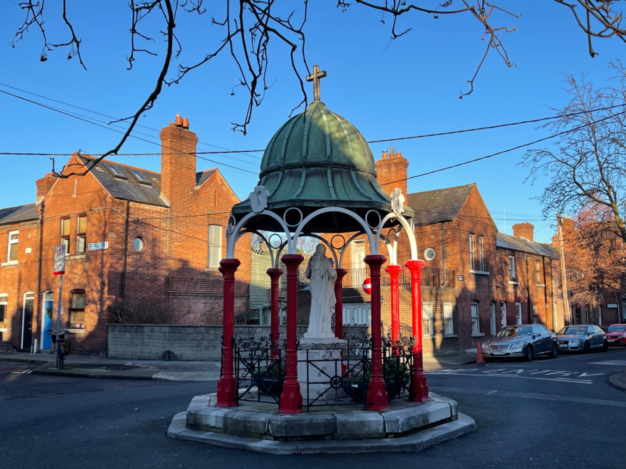 Pallas StudiosGallery · 153 yd
 Graveyard in Unknown TownlandGraveyard · 198 yd
 Medieval DublinVisitor information · 557 yd
 European PearEuropean Pear · 1028 yd
 Bigleaf MapleBigleaf Maple · 1312 yd
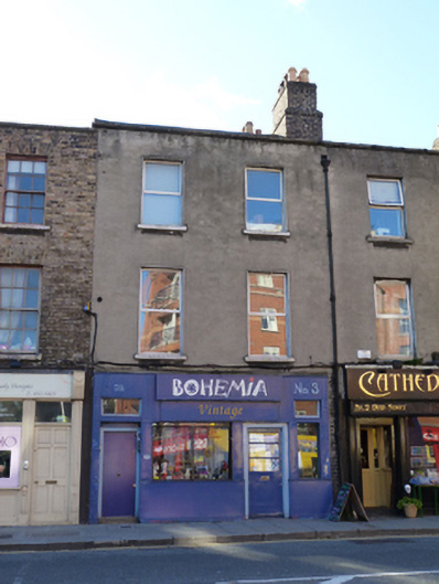 Bohemia Vintagehouse · 40 yd
Other information
Photo: Credit not shown in the picture search · Rights wording not checked; contact us if this picture should be removed