
What is recorded here
The present bridge at Milltown occupies the site of an earlier bridge that spanned the river Dodder. It is shown on the Down Survey (1655-6) map.This earlier was replaced by one of granite in relatively recent past. This bridge spans the River Dodder from the present Milltown Bridge. Both the central pier and its two abutments are founded on rock. Built of rubble masonry, randomly coursed with well cut ashlar blocks. The arches are round with a cut-water on the S side. Along the parapet is a barrel-vaulted machiolation type step out. The parapets were repaired in the mid 18th century and further repairs undertaken in 1973 (Ball 1903, 2, 110-111; O'Keefe & Simington 1991, 211-214).
Compiled by Geraldine Stout
The monument record does not grant public access. Check the route and ask the landowner before entering private land.
- What survives
- Recorded monument
Places near here
 MillMill, unclassified · 46 yd
 Cloth MillMill, fulling · 238 yd
 Clonskeagh CastleCastle · 263 yd
 The OrchardsCastle, unclassified · 843 yd
 Beech Hill Office CampusMemorial · 915 yd
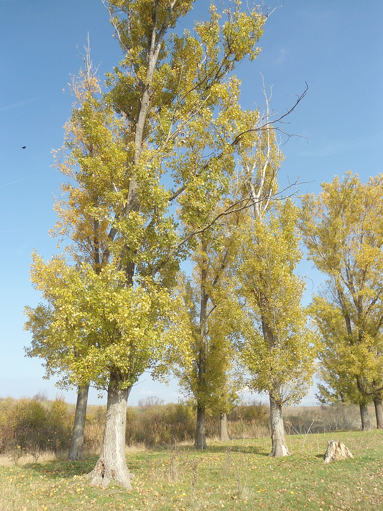 Hybrid poplarHybrid poplar · 1392 yd
 Tree of HopeMemorial · 1461 yd
 ChapelEcclesiastical site · 1680 yd
 The Arthur Morrison MonumentMonument · 1717 yd
 RTÉVisitor information · 1.0 mi
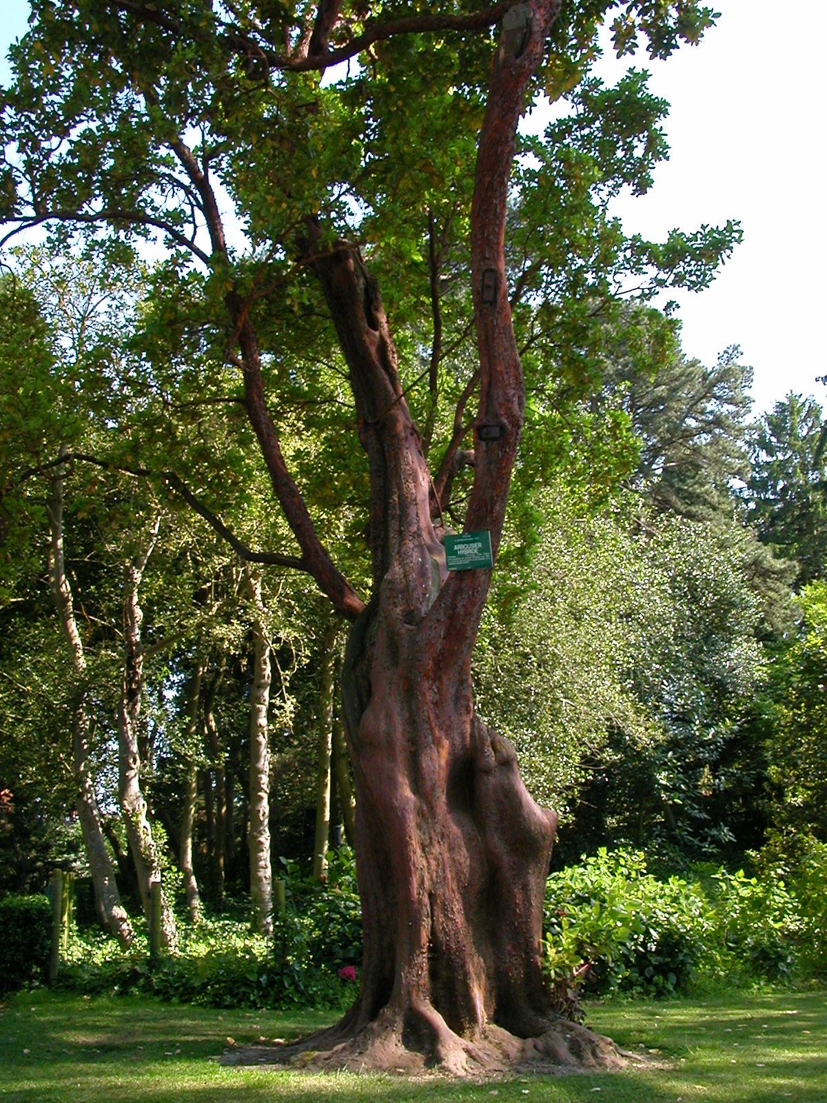 Hybrid strawberry treeHybrid strawberry tree · 1.0 mi
 Battle of RathminesMajor battlefield · 1.1 mi
Other information
Photo: Credit not shown in the picture search · Rights wording not checked; contact us if this picture should be removed