What is recorded here
Unlocated Bridge within townland depicted on Down Survey (1655-6) map of the area.
Compiled by: Caimin O'Brien
Date of upload: 17 December 2007
The monument record does not grant public access. Check the route and ask the landowner before entering private land.
- What survives
- Recorded monument
Places near here
 Font (present location) in Killinure (upperwoods By.),mountainfarmFont (present location) · 807 yd
 Font in Killinure (upperwoods By.)Font · 1384 yd
 Roundwood Housecountry house · 1.4 mi
 Monicknew Bridgebridge · 1.7 mi
 BaunreaghcongMountain / peak · 2.7 mi
 Sitka SpruceSitka Spruce · 2.8 mi
 Slieve Bloom MountainsMountain range · 4.0 mi
 Castle in ruins, Red Castle FortCastle, unclassified · 4.3 mi
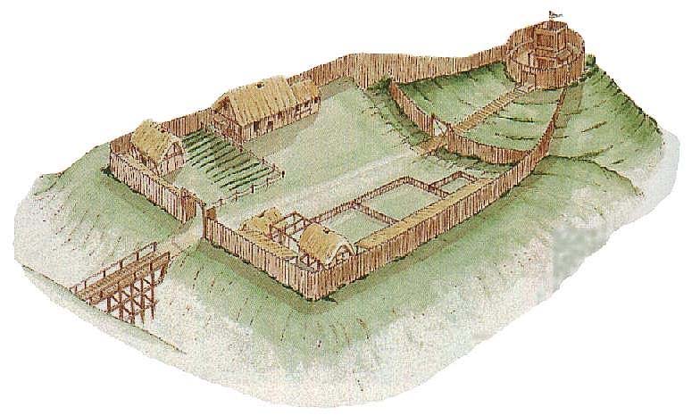 CastleCastle, motte and bailey · 4.6 mi
 Sweet ChestnutSweet Chestnut · 5.0 mi
 ArderinMountain / peak · 5.0 mi
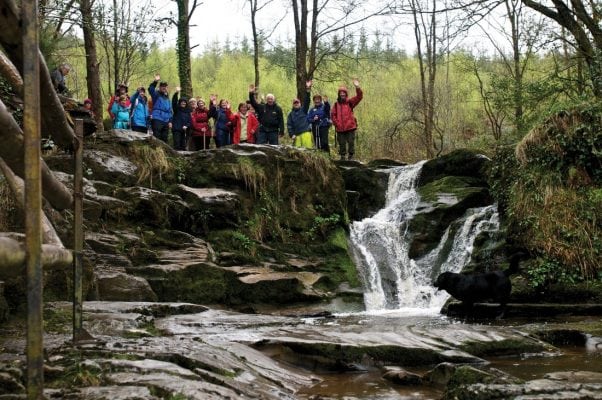 Slieve Bloom WayWalking route · 5.6 mi