
What is recorded here
Four-arch road bridge over River Clashawley, built c.1500, with roughly dressed V-cutwaters to west elevation, round arches to south of possibly mid- to late eighteenth-century date, southernmost being narrower, and camber arches to north, northernmost arch being dry. Rubble limestone walls, cement-rendered soffits, and rubble limestone parapet walls.
This bridge may contain medieval fabric, as this is the location of a known medieval bridge and the two small, low arches at the north end may be of fifteenth or sixteenth-century date. The narrowness of its carriageway may also support an early date. It appears to have been widened in stages, as the river changed course, perhaps due to natural meanders, or perhaps due to the milling activity nearby, both up and downstream.
This does not grant access. Most recorded buildings are privately owned; view them only from public ground unless the owner allows entry.
Places near here
 Flour MillWater mill, vertical-wheeled · 36 yd
 Edmond's CastleCastle · 71 yd
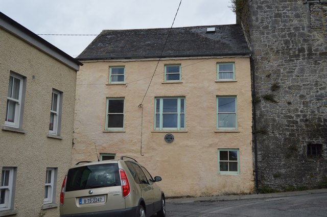 Watergate Househouse · 73 yd
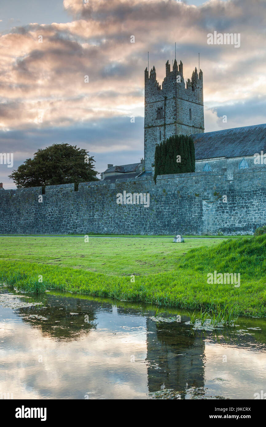 Almshouse in FethardAlmshouse · 75 yd
 Court CastleCastle · 84 yd
 Grave YardGraveyard · 121 yd
 European YewEuropean Yew · 129 yd
 East GateMemorial · 132 yd
 Grove WoodForest · 1.1 mi
 Kilknockan HillMountain / peak · 1.2 mi
 CarrigdotiaMountain / peak · 4.3 mi
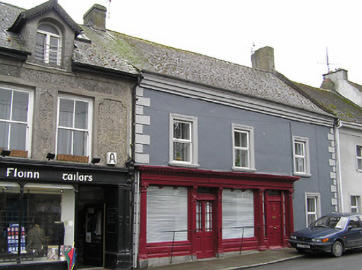 O'Sheahouse · 88 yd
Other information
Photo: Martin Richard Phelan · CC BY-SA 2.0