
What is recorded here
Five-arch limestone bridge, built c.1820, carrying road over River Fane, on boundary between counties Monaghan and Armagh. Segmental arches with smooth render to archivolts and soffits. End arches lower than central arches. Rubble stone walls with some cut-stone copings to parapets, having rock-faced texture to upper surface. Dressed stone V-cutwaters having concrete capping to both elevations. Situated north-east of former corn mill.
This well-constructed stone bridge shows evidence of skilled stone masonry and engineering. While serving as important infrastructure to the local area it also adds interest, together with the neighbouring mill, to its attractive rural setting. It marks the boundary not only between two counties, but also indicates the border between the two jurisdictions.
This does not grant access. Most recorded buildings are privately owned; view them only from public ground unless the owner allows entry.
Places near here
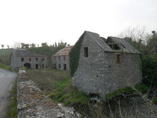 mill (water)mill (water) · 41 yd
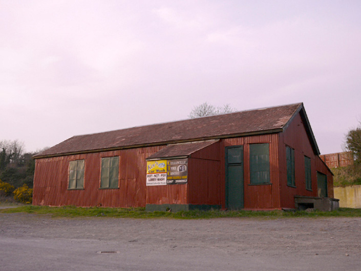 hallhall · 409 yd
 Man-made underground passage in CorcullioncrewMan-made underground passage · 458 yd
 ENCLOSURE in CullavilleENCLOSURE · 897 yd
 KnockreaghMountain / peak · 1.2 mi
 Battle of Newry Roadbattle · 2.9 mi
 The Black Castle Chambered GraveArchaeological place · 3.2 mi
 MEDIEVAL & POST-MED. CHURCH & GRAVEYARD in Creggan Bane GlebeMEDIEVAL & POST-MED. CHURCH & GRAVEYARD · 3.3 mi
 Whites IslandIslet · 3.4 mi
 Fincarn HillMountain / peak · 3.9 mi
 Mannan Castle (in ruins)Castle, Anglo-Norman masonry castle · 4.0 mi
 Crane IslandIsland · 4.0 mi
Other information
Photo: National Inventory of Architectural Heritage · Website use allowed for educational or private purposes with source credit