What is recorded here
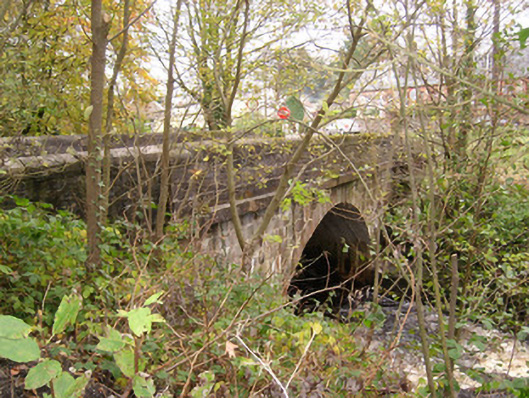
Single-arched bridge carrying road over the Termon River, built c. 1860. Segmental arch having ashlar voussoirs to arch ring and ashlar construction to arch barrel. Ashlar construction to spandrels with projecting ashlar stringcourse at road deck level; ashlar construction to parapets having rounded ashlar coping over. Projecting ashlar buttresses flanking arch having rounded cement rendered coping over. Tarmacadam deck. Rubble stone wing walls to either side. Located to the north of the centre of Pettigoe, and adjacent to the south/south-west of Pettigoe Mills (see 40850001).
This appealing and very well-built bridge is an appealing feature in the landscape to the north of the centre of Pettigoe. It survives in original condition, which is testament to the quality of its original construction. The broad span of the elegant segmental arch is of some technical and engineering merit, while the buttresses flanking the arch, the rounded coping to the parapets and the projecting stringcourse at deck level adds additional aesthetic interest. This bridge is constructed using ashlar masonry that is of a quality not commonly encountered in rural bridges. This suggests that it may have been originally commissioned and financed by the Leslie family, the local landlords at the time of construction. This significant edifice is one of a number of fine bridges crossing the Termon River at Pettigoe, and is an important element of the built heritage of the local area. This bridge spans the border between counties Donegal and Fermanagh, and thus the border between the Republic and Northern Ireland.
This does not grant access. Most recorded buildings are privately owned; view them only from public ground unless the owner allows entry.
Places near here
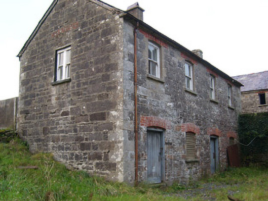 Pettigo Corn and Saw Milloffice, outbuilding, mill manager's house · 105 yd
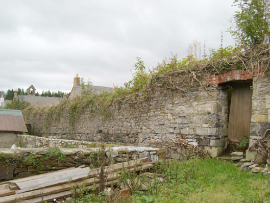 walled gardenwalled garden · 272 yd
 Drumharriff WoodForest recreation place · 648 yd
 Castle McGrathCastle · 1.4 mi
 ENCLOSURE in DrumlongfieldENCLOSURE · 1.5 mi
 Cross in Carn (pettigoe Ed)Cross · 1.5 mi
 Smiths RocksIsland · 1.7 mi
 Teige's RockIsland · 1.7 mi
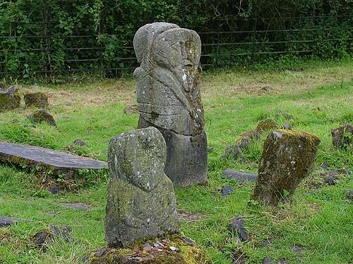 Boa IslandIsland · 2.4 mi
 Kesh ForestForest · 2.5 mi
 Derrin MountainMountain / peak · 3.3 mi
 STONE FIGURES IN CALDRAGH GRAVEYARD: BOA ISLAND in DreenanSTONE FIGURES IN CALDRAGH GRAVEYARD: BOA ISLAND · 3.5 mi
Other information
Photo: National Inventory of Architectural Heritage · Website use allowed for educational or private purposes with source credit