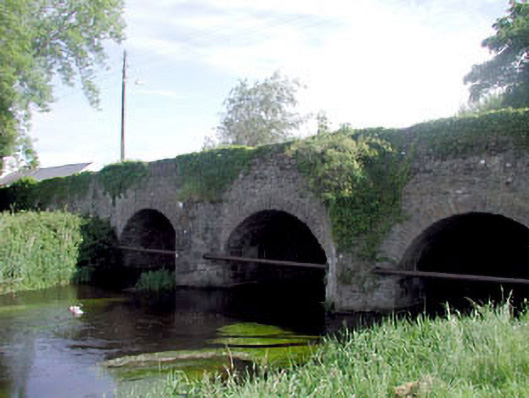
What is recorded here
Three-arch rubble stone road bridge over river, c.1780, with triangular cut-waters, rubble stone voussoirs, buttress to south-west and single-arch pedestrian underpass to south-east with cut-stone voussoirs. Rubble stone walls. Rubble stone triangular cut-waters. Cut-stone buttress to south-west. Rubble stone parapet wall with rubble stone coping. Four segmental arches (including pedestrian underpass to south-east). Rubble stone voussoirs (cut-stone to pedestrian underpass). Rubble stone soffits with render over. Replacement iron gate, c.1985, to pedestrian underpass. Sited spanning Slate River with grass bank to north-west and gravel tow path to bank to south-east.
This bridge is a fine rubble stone bridge that forms an imposing feature on the Slate River and is one of a small group of bridges on the section of that river that passes through County Kildare – the bridge forms the approach road in to Rathangan from the south-east, leading in to Market Square. The construction of the arches that have retained their original shape is of technical and engineering merit. The bridge exhibits good quality traditional stone masonry. The bridge is of considerable historical and social significance as a reminder of the road network development in Ireland in the late eighteenth century. An unusual feature is the pedestrian underpass to south-east, which retains its original form and which is demarcated from the arches spanning the river by a stout buttress pier.
This does not grant access. Most recorded buildings are privately owned; view them only from public ground unless the owner allows entry.
Places near here
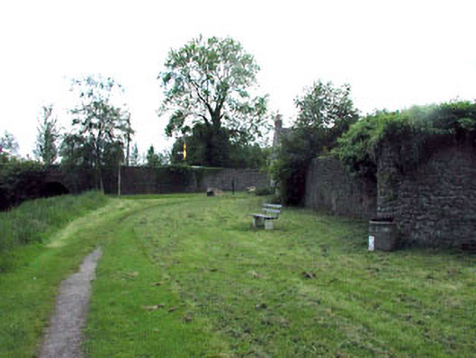 gates/railings/wallsgates/railings/walls · 60 yd
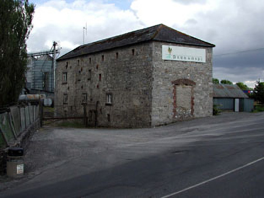 store/warehousestore/warehouse · 76 yd
 Bithia Mary CrokerMemorial · 368 yd
 An Rath Ring FortArchaeological place · 511 yd
 Site of CastleCastle, tower house · 665 yd
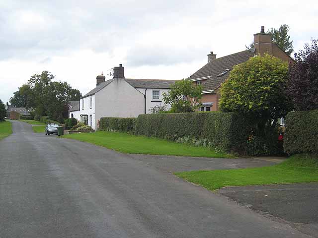 Enclosure in Newtown (killinthomas Ed)Enclosure · 730 yd
 Community OrchardNature reserve · 953 yd
 Offaly CastleCastle, tower house · 1.1 mi
 Killinthomas Wood (Rathangan)Wood · 1.5 mi
 The Fairy BowerHeritage attraction · 3.9 mi
 Lullymore Heritage ParkHeritage attraction · 3.9 mi
 Sli na Slainte - mapVisitor information · 4.7 mi
Other information
Photo: National Inventory of Architectural Heritage · Website use allowed for educational or private purposes with source credit