What is recorded here
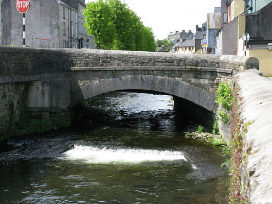
Single-arch road bridge, dated 1858, spanning the Bride Well River. Camber-headed arch having tooled limestone voussoirs to east elevation, rusticated voussoirs to west elevation. Tooled limestone piers with string course to imposts. Roughly dressed stone block spandrels and parapet walls having tooled limestone string course, flanked by splayed abutments with recent render and concrete block repairs. Rounded tooled limestone coping and carved stone date plaque to side (east) elevation of western parapet wall. Half camber-headed relieving arch to east end of southern abutment.
This bridge demonstrates the fine skill and craftsmanship of mid nineteenth century engineers. The finely crafted tooled stone voussoirs, string courses and parapet copings are the work of skilled masons, and provide textural contrast to the rubble stone construction.
This does not grant access. Most recorded buildings are privately owned; view them only from public ground unless the owner allows entry.
Places near here
 Bridge in GullyBridge · 10 yd
 shop/retail outletshop/retail outlet · 54 yd
 CrossCross, Market cross · 332 yd
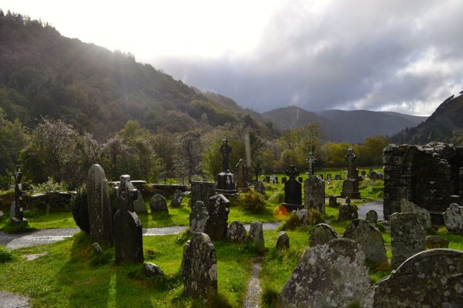 Graveyard in GullyGraveyard · 359 yd
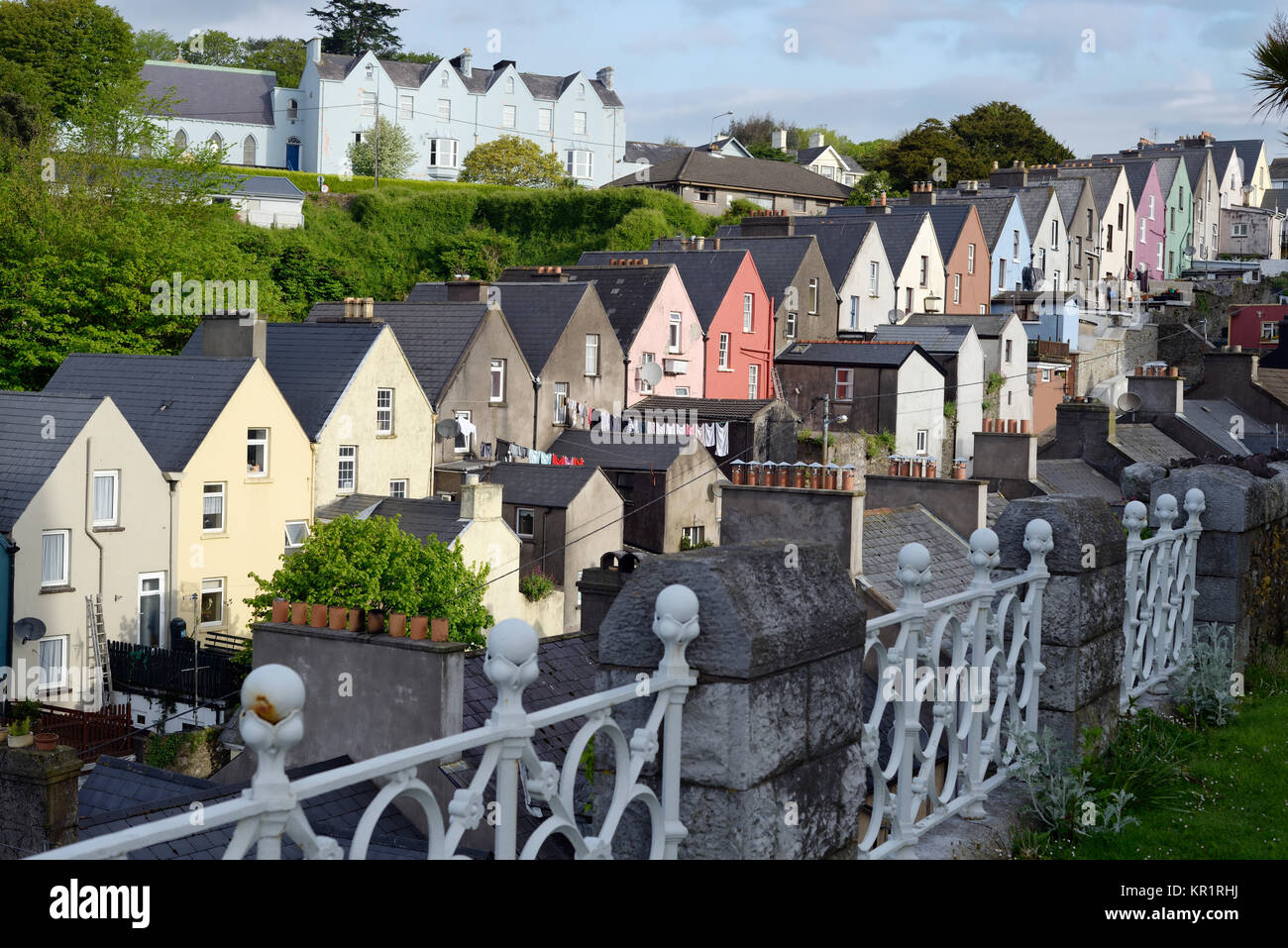 Town defences in GullyTown defences · 389 yd
 Bandon War MemorialMemorial · 503 yd
 Carbury's WellSpring · 1672 yd
 Cottage Road WoodWood · 1.8 mi
 Roche's WoodWood · 2.1 mi
 Marie LouiseWreck · 4.3 mi
 Carrighnassig Castle (Site of)Castle, unclassified · 4.3 mi
 Shippool CastleCastle · 4.6 mi
Other information
Photo: National Inventory of Architectural Heritage · Website use allowed for educational or private purposes with source credit