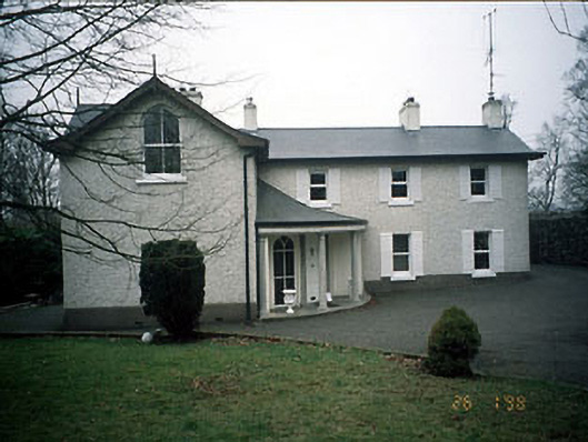
What is recorded here
Detached three-bay two-storey L-plan house, c.1830. Refurbished and porch added c.1985. Rubble stone wall with arch at ground level to river bank at rear. Double-pitched roof, artificial slates, cedar barge and fascia boards, rendered chimney stacks. Rough dash rendered walls. Stone, timber and concrete cills, timber sash windows, uPVC casement windows, porch with screen of concrete columns, c.1985, external window shutters. High wall to front boundary, deep circular well shaft - stone lined and with iron grill. Rubble stone wall with arch at ground level to river bank.
This does not grant access. Most recorded buildings are privately owned; view them only from public ground unless the owner allows entry.
Places near here
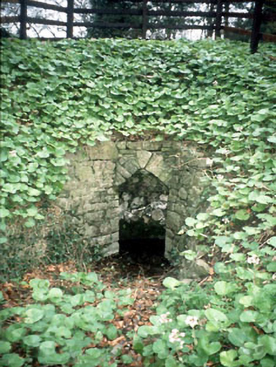 Boyne Cottagewell · 38 yd
 viaductviaduct · 140 yd
 CastleCastle, motte · 282 yd
 CrossCross, Churchyard cross · 298 yd
 The RampartWood · 340 yd
 Town defences in Townparks (navan Lower By.)Town defences · 471 yd
 Nangle CourtMemorial · 1.2 mi
 Blackcastle DemesneWood · 1.4 mi
 Donaghmore Round TowerHeritage attraction · 1.5 mi
 Rathaldron Ho.Castle, tower house · 2.0 mi
 Carn HillMountain / peak · 2.3 mi
 BohermeenMountain / peak · 3.9 mi
Other information
Photo: National Inventory of Architectural Heritage · Website use allowed for educational or private purposes with source credit