What is recorded here
In outbuilding of private house ('Rhodesia') on Boreenmanna Road (W end). Stone reads 'The ancient bounds between Gortgarra and Gortrush. All the wall being on Gortgarra Ano Dom 1674'. According to landowner, second marker stone (CO074-067002-) (now plastered over) c. 30m to SW in front wall of adjoining house. In 1849 Windele records 'Between the Blackrock and Bohereenmanagh roads was anciently a place of public recreation, several coins of Elizabeth and local copper tokens have been occasionally discovered on the site' (Lee 1931, 75).
The above description is derived from the published 'Archaeological Inventory of County Cork. Volume 2: East and South Cork' (Dublin: Stationery Office, 1994). In certain instances the entries have been revised and updated in the light of recent research.
Date of upload/revision: 14 January 2009
The monument record does not grant public access. Check the route and ask the landowner before entering private land.
- What survives
- Recorded monument
Places near here
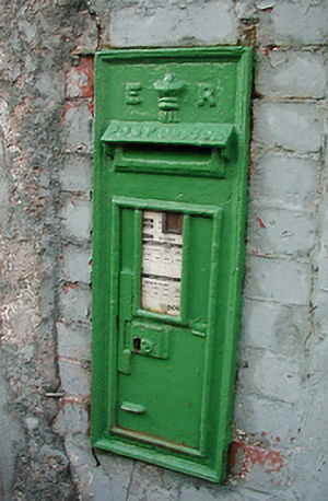 post boxpost box · 97 yd
 officer's houseofficer's house · 214 yd
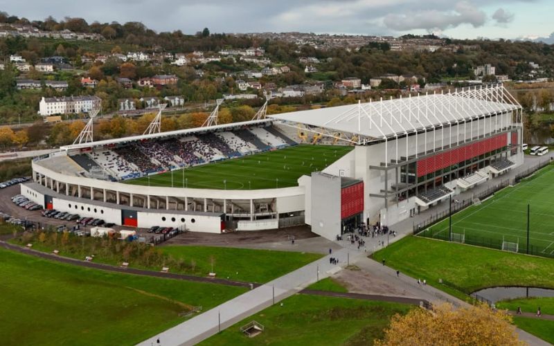 Páirc ShalomMemorial · 418 yd
 Fire hose monumentMemorial · 496 yd
 Burial ground in Cork CityBurial ground · 563 yd
 Cork WalksVisitor information · 1048 yd
 Father MatthewMonument · 1082 yd
 Mashanaglass Castle (in Ruins)Castle, tower house · 19 mi
 Summerhouse WoodForest · 20 mi
 Ummera WoodWood · 20 mi
 Burmahbridge · 221 yd
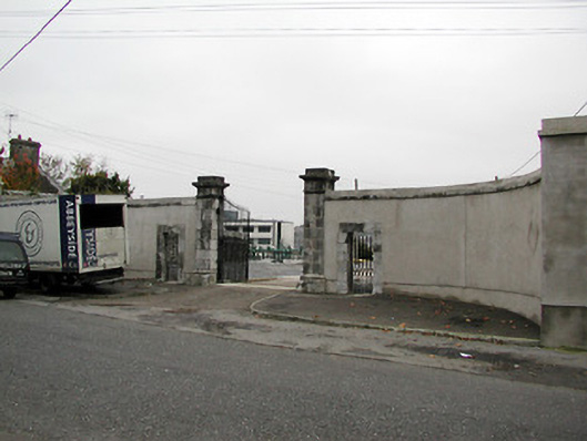 Bord Gaisgates/railings/walls · 240 yd