What is recorded here
Marked only on the 1925 ed. of the OS 6-inch map on the boundary between Cloonburren and Clooniff townlands where it is described in italic lettering as a 'Mound'. It is situated at the SE edge of a bog and does not survive on a bog road, and was probably an Ordnance Survey marker.
Compiled by: Michael Moore
Date of upload: 24 August 2010
The monument record does not grant public access. Check the route and ask the landowner before entering private land.
- What survives
- Recorded monument
Places near here
 CastleCastle, unclassified · 988 yd
 Cloonburren MoteCastle, motte and bailey · 1316 yd
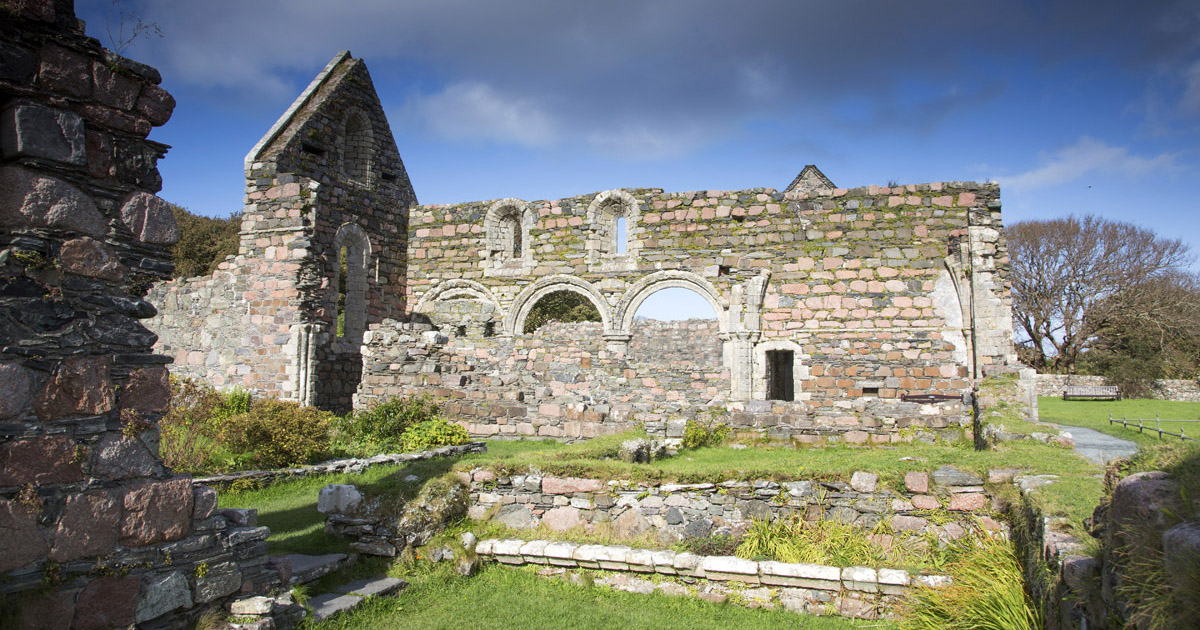 Religious house nunneryReligious house nunnery, unclassified · 1503 yd
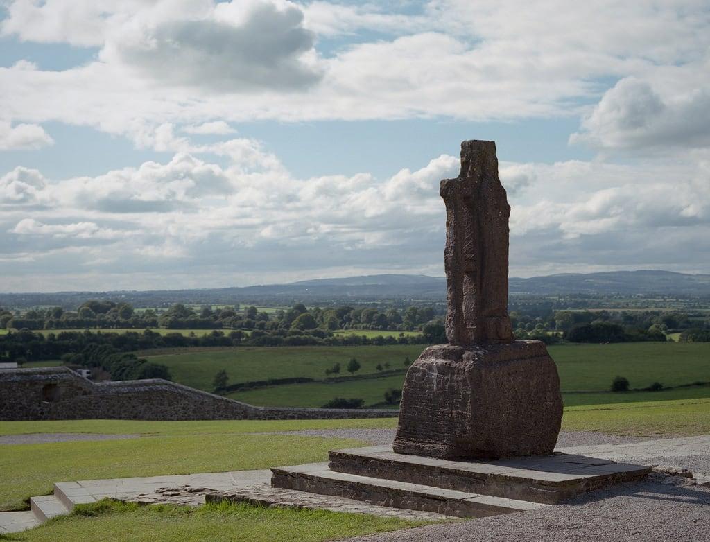 Cross (present location) in CloonburrenCross (present location) · 1505 yd
 Cross in CloonburrenCross · 1546 yd
 Devenish IslandIsland · 1582 yd
 HawthornHawthorn · 1.6 mi
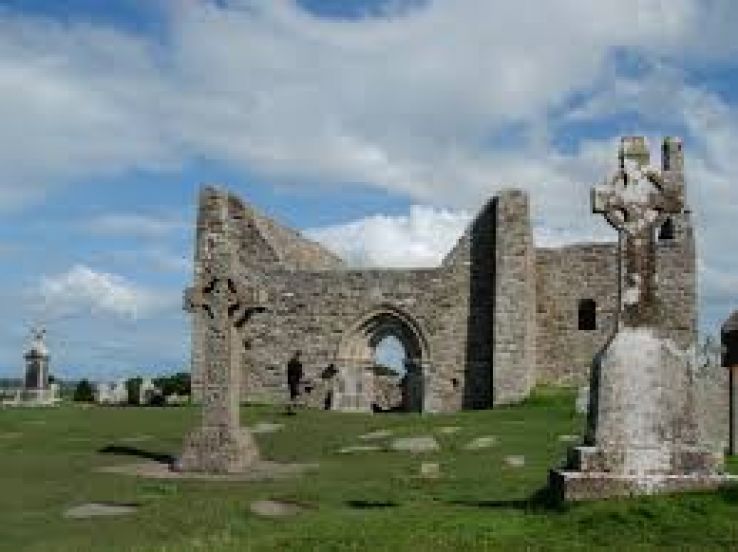 Bridge in ClonmacnoiseBridge · 1.8 mi
 Graveyard in ClonmacnoiseGraveyard · 1.9 mi
 ClonmacnoiseMuseum · 2.0 mi
 Long IslandIsland · 2.3 mi
 Split HillMountain / peak · 2.5 mi