What is recorded here
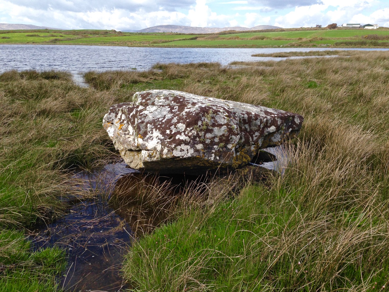
Half a kilometre north of the Rathruane river, a broad stone still bridges four smaller stones on the ridge. Someone lifted that weight across soil and water, then drilled a hole through its top before letting go. The chamber may have held a dead person, a gift, or a warning for the living. In that case the hole is not damage but voice: a narrow pipe through which breath, water or prayer could enter the dark.
On ridge of outcropping rock c. 600m N of Rathruane river. Oblong boulder (2.5m x 1.3m; T 1.1m) resting above four support stones. Drill-hole in its NW upper surface. (Roberts 1988, Ch. 4, no. 5)
The above description is derived from the published 'Archaeological Inventory of County Cork. Volume 1: West Cork' (Dublin: Stationery Office, 1992). In certain instances the entries have been revised and updated in the light of recent research.
Date of upload/revision: 14 January 2009
Boulder-burial in Rathruane More is a megalithic tomb, likely dating to the Neolithic or early Bronze Age. Its significance lies in its construction technique and the presence of a drill-hole, which may indicate ritual or funerary practices associated with the monument.
The monument record does not grant public access. Check the route and ask the landowner before entering private land.
- What survives
- Recorded monument
Places near here
 Man-made underground passage in Rathruane MoreMan-made underground passage · 553 yd
 Tuck MillMill, fulling · 837 yd
 Childrens Burial Gd (Disused)Burial ground · 1075 yd
 RC Chapel (in Ruins)Church · 1102 yd
 Danno O’Mahony statueMemorial · 1.6 mi
 Ballydehob's 3-Arch Road BridgeVisitor information · 1.7 mi
 The 12-Arch Railway ViaductVisitor information · 1.7 mi
 Mount CorrinMountain / peak · 2.1 mi
 Mount GabrielMountain / peak · 2.3 mi
 Rossbrin CastleCastle · 3.2 mi
 Barnageehy Loop WalkWalking route · 3.3 mi
 Cadogan's StrandHeritage attraction · 3.4 mi