What is recorded here
The possible boulder-burial was located 24m to the NE of the stone row (KE082-007001-). Before destruction it comprised a large boulder, 1.6m x 1.35m, which rested above four or more small stones (Ó Nualláin 1988, 238-9, Fig. 14). In 1989 an area of 18 sq. m, centering on the original location of the possible boulder burial was excavated (Sheehan 1990, 30). There were no finds and no features survived to identify the nature of the site. (O'Sullivan and Sheehan (1996, 50-51, no. 108).
The above description is derived from the published 'Archaeological Inventory of County Kerry. Volume I: South-West Kerry' (Dublin: Stationery Office, 2009). In certain instances the entries have been revised and updated in the light of recent research.
Date of upload: 30 May 2011
Boulder-burial, likely dating to the Neolithic or early Bronze Age. This type of monument is significant as it represents an early funerary tradition associated with megalithic practices in Ireland.
The monument record does not grant public access. Check the route and ask the landowner before entering private land.
- What survives
- Recorded monument
Places near here
 Burnt spread in DromteewakeenBurnt spread · 36 yd
 Beann DheargMountain / peak · 1369 yd
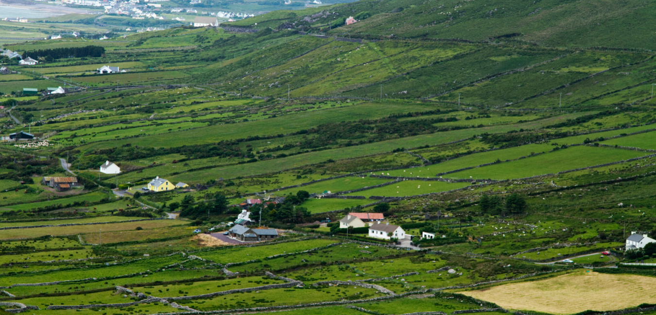 Beann BhánMountain / peak · 1.3 mi
 Ballaghbeama GapViewpoint · 1.7 mi
 Megalithic structure in DerreenyMegalithic structure · 2.0 mi
 CarrauntoohilMountain / peak · 3.4 mi
 Devil's Ladder RouteWalking route · 4.6 mi
 Blackstones Bridgebridge · 4.8 mi
 Crash site of USAAF DakotaHeritage attraction · 5.1 mi
 Penitential station in TreanmanaghPenitential station · 6.5 mi
 Castle Core (in Ruins)Castle, tower house · 8.7 mi
 Lough Nambrackdarrig Nature ReserveNature reserve · 9.0 mi