What is recorded here
In rough unenclosed grazing, on the western tip of Achill Island, located on the banks of a stream, flowing through a small steep-sided valley, and overlooked at E by the precipitous rocky slopes of Croaghaun mountain. The stream flow downslope to N to a short accessible stretch of the rocky shore, flanked by cliffs. This cluster of stone-built hut sites constitutes a booley village, used as temporary shelter for herders while cattle were kept on remote upland grazing. The huts occur in a linear cluster on both banks of the stream. The ruined roofless huts are rectangular or oblong in plan, with long axis N-S. Most have rounded corners but at least one has a true rectangular shape with right-angled corners. The walls (Wth c. 0.6m) are of drystone construction using rough stones and and boulders, and survive largely intact to a height of c. 1-1.4m. Two groupings of huts can be seen within the cluster as a whole. To N there is a linear group of nine huts, surviving in relatively good condition, each measuring c. 6-7m N-S by c. 3-4m E-W. The majority have a doorway in the centre of the W wall but one has a doorway in the E wall. Several have the remains of a central E-W partition wall, dividing the hut into two rooms. Most have a small slab-lined recess, or wall cupboard, built into the thickness of the wall. Some of the two-roomed huts have two cupboards, one in each room. Eight of the huts in this group are freestanding but a smaller ninth hut has one wall built against a natural slope. Located c. 40m upslope to S is a second grouping of six or possibly seven huts. They are of similar construction to the N grouping but are located where the course of the stream flows trough a deep gully and most have one wall built against the vertical gully slope. The majority are smaller than the huts of the N grouping, some measuring c. 3-4m N-S by c. 2-2.5m E-W. One of the largest huts in this grouping has a small additional room or possibly another hut appended to its N end. There are two other structures in the settlement. One is a rough hut or shelter, located c. 30m to NE of the N grouping of huts. It utilises a natural rock out-crop on the rising E slope of the valley. A rough stone wall encloses a space (c. 3.5m N-S; c. 2m E-W) against the outcrop, beneath a projecting slab of rock which serves as a natural roof. The second structure is a roughly square, stone-walled enclosure (c. 15m N-S; c. 12m E-W), probably a pound for animals, which is located on the E slope of the valley c. 25m N of the huts.
Compiled by: Jane O'Shaughnessy
Date of upload: 14 July 2015
The monument record does not grant public access. Check the route and ask the landowner before entering private land.
- What survives
- Recorded monument
Places near here
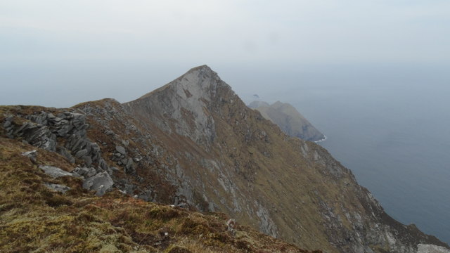 Croaghaun SW TopMountain / peak · 1267 yd
 Achill HeadMountain / peak · 1306 yd
 GarraunbaunHeadland · 1393 yd
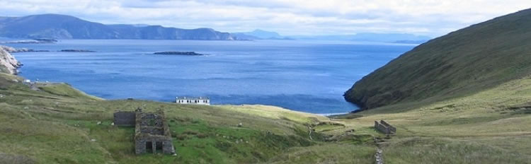 Boycott's HouseRuins · 1.1 mi
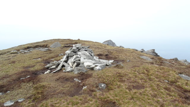 CroaghaunMountain / peak · 1.1 mi
 Cross in Keel WestCross · 1.2 mi
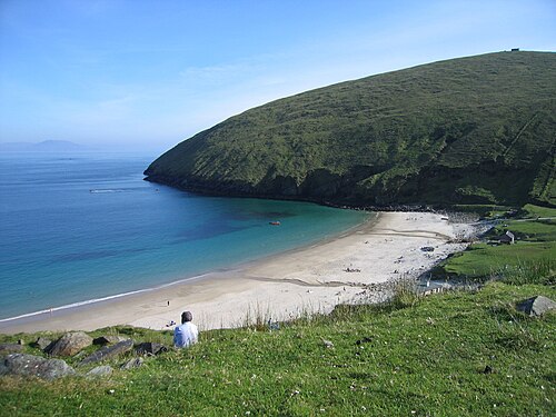 Keem BayVisitor information · 1.3 mi
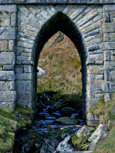 bridgebridge · 1.3 mi
 Saddle HeadHeadland · 2.8 mi
 Don AllumMonument · 3.8 mi
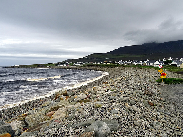 Dooagh StrandBeach / strand · 3.9 mi
 Annagh StrandBeach / strand · 3.9 mi