What is recorded here
Situated in a hollow with higher ground to the N in an area of open karst with thin grass cover, within a field system (CL009-084001-). Listed as ‘Clochan’ in the SMR (1992) and in the RMP (1996). Indicated on a 1st ed. OS 6-inch map set annotated by Westropp. On inspection in 1998 this was found to be a rectangular drystone structure (c. 4m N-S; c 3.5m E-W) of modern construction with a corbelled roof and a lintelled entrance (Wth 0.8m; H 0.9m) at the S end of the E wall. The interior is D-shaped (3m N-S; 2.2m E-W). The side walls are fairly straight but corbel in to a height of 1.4-1.8m. The top of the roof had fallen in.
Compiled by: Mary Tunney
Date of upload: 21 March 2016
The monument record does not grant public access. Check the route and ask the landowner before entering private land.
- What survives
- Recorded monument
Places near here
 Farbrega RockNamed rock · 499 yd
 Cliff-edge fort in PoulacarranCliff-edge fort · 630 yd
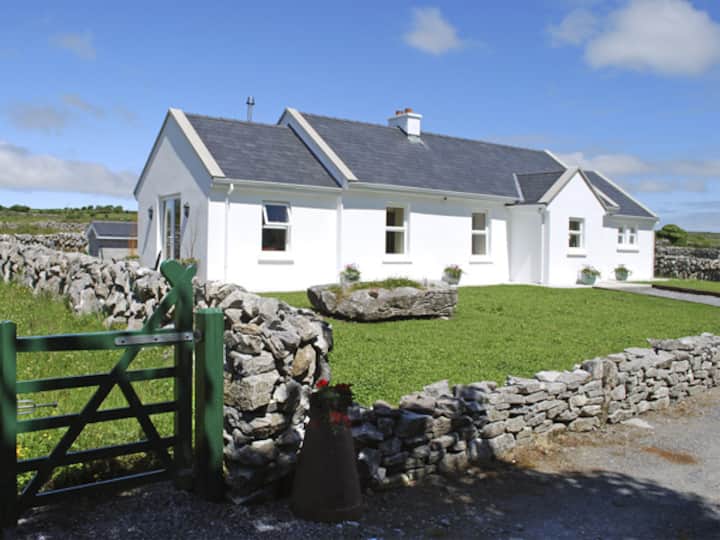 Enclosure in CarranEnclosure · 730 yd
 Templeline (in ruins)Church · 1340 yd
 Carran Church (in ruins)Church · 1412 yd
 Castle in ruinsCastle, tower house · 1.9 mi
 CaherconnellHeritage attraction · 2.0 mi
 Castle (in ruins)Castle, unclassified · 2.1 mi
 Poulnabrone - Burren GeositeVisitor information · 2.2 mi
 The Portal TombVisitor information · 2.3 mi
 Cave of the Wild HorsesCave · 2.3 mi
 Poulnabrone DolmenHeritage attraction · 2.3 mi