What is recorded here
In rough upland pasture, located on a relatively narrow terrace on the N facing slope of a rocky ridge, overlooking an expanse of boggy ground which stretches N from the base of the ridge. This is one of a cluster of booley huts (MA096-034001- to MA096-034010-) associated with a field system (MA096-034----).
This booley hut consists of a subcircular area (int. dims. c. 2m N–S; c. 1.6m E–W) enclosed by low, tumbled, largely moss-covered drystone wall (Wth 0. 6-0.7m; H 0.3). There is no obvious entrance gap. A rough setting of stones on the N side may be a small annex (max. dims. c. 1.5m). This booley hut is on the line of an E–W field wall.
Notified to NMS by Michael Gibbons
Attached images:
MA096-034004-_01.JPG Booley hut viewed from E
Compiled by: Jane O’Shaughnessy
Date of upload: 19 December 2019
The monument record does not grant public access. Check the route and ask the landowner before entering private land.
- What survives
- Recorded monument
Places near here
 Enclosure in Boheh (murrisk By., Oughaval Par.)Enclosure · 1047 yd
 AltarAltar · 1149 yd
 Ben GoramMountain / peak · 2.5 mi
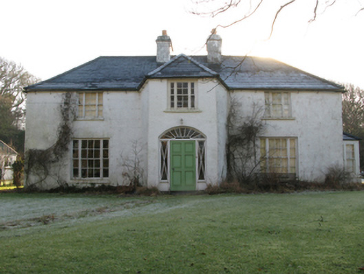 Tully Lodgehunting/fishing lodge · 2.5 mi
 Bellakip Bridgebridge · 2.6 mi
 Old Head BeachBeach / strand · 3.3 mi
 Black StrandBeach / strand · 3.3 mi
 Leaba PatrickMemorial · 3.4 mi
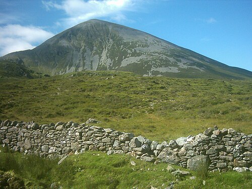 Croagh PatrickMountain / peak · 3.4 mi
 Oldhead Wood Nature ReserveWood · 3.7 mi
 O'Malley's CastleCastle · 4.3 mi
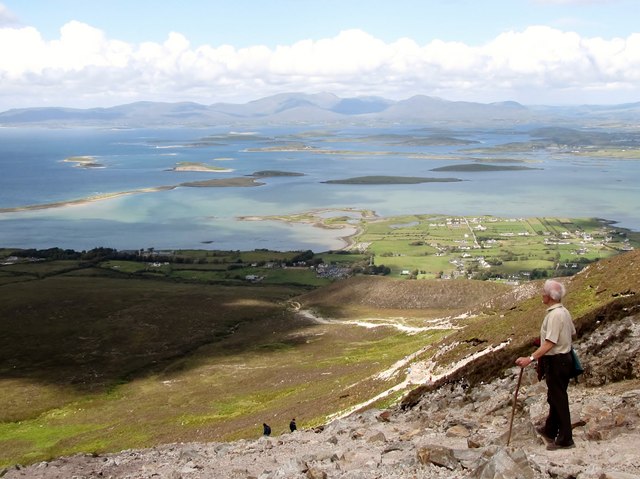 Croagh Patrick Pilgrim TrailWalking route · 4.5 mi