What is recorded here
Located on the W bank of a tributary stream of the Owenboy River, in an upland river valley on the S slopes of the Ox Mountains. There is a forestry plantation adjacent to E. Ruined rectangular stone-built hut (4.8m N–S; 3m E–W). The walls (Wth 1.2m; H 0.6-0.8m), which appear to be of dry-stone construction using local gneiss stones, are largely covered in sod and moss. A gap (Wth 0.8m) at the N end of the E wall marks the original doorway. A small annex (int. dim. 1.1m E–W; 1-1.5m N–S) is appended to the S wall, defined on the E and W sides by two short lengths of wall, and open on the S side. There are two heaps (max. dim. c. 2m) of loose field stones c. 3m to SW. To S a low, stone wall borders the bank of the stream, built apparently to direct overflow and prevent flooding of the low terrace on which the hut is built. There is a structure (SL024-004001-) located c. 60m to NE.
Compiled by: Jane O’Shaughnessy
Date of upload: 7 March 2013
The monument record does not grant public access. Check the route and ask the landowner before entering private land.
- What survives
- Recorded monument
Places near here
 Knockalongy South-West TopMountain / peak · 1.5 mi
 KnockalongyMountain / peak · 1.6 mi
 The Turf Stack RockNamed rock · 2.2 mi
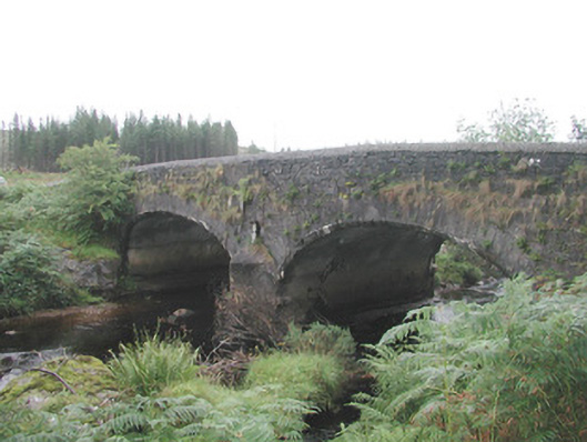 Carha Bridgebridge · 2.5 mi
 White RockNamed rock · 2.7 mi
 Cabragh Wedge TombArchaeological place · 3.0 mi
 Man-made underground passage in CarhaMan-made underground passage · 3.3 mi
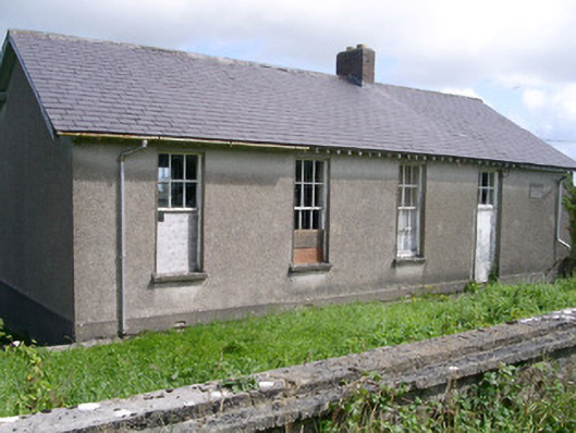 Dromard National Schoolschool · 3.7 mi
 Valley WoodForest · 4.1 mi
 Pigeonpark WoodForest · 4.1 mi
 Bawn in Longford DemesneBawn · 4.4 mi
 Giant's GraveArchaeological place · 5.6 mi