What is recorded here
This is one of six huts (MA084-0021---- to MA084-0026----), which occur in a cluster in an exposed site on commonage about halfway up the S flanks of Knockmore. The huts are situated at different levels on a very steep slope over a distance of c. 60m on either side of a small stream. They were most likely associated with booleying activities. This hut is the highest of the group, it lies 14m SW of the stream. Another hut (MA084-022----) lies 22.3m downslope to ESE. The site consists of a small hut, circular in plan (3.6m E–W, 3.2m N–S), in good condition. It is defined by a low undulating grassy bank (Wth 0.8m × H 0.4m max.). A gap on downslope (eastern) side (Wth 0.8m), appears to mark the entrance. The interior is level save for two or three protruding stones.
The above description is derived from: New Survey of Clare Island. Volume 5: Archaeology. Edited by Paul Gosling, Conleth Manning and John Waddell. (Royal Irish Academy, Dublin. 2007). In certain instances the entries have been revised and updated.
Date of upload: 29 November 2018
The monument record does not grant public access. Check the route and ask the landowner before entering private land.
- What survives
- Recorded monument
Places near here
 KnockmoreMountain / peak · 578 yd
 farm housefarm house · 1272 yd
 DoonPromontory fort, coastal · 1453 yd
 Clare IslandIsland · 1614 yd
 ScalpatruceMountain / peak · 1666 yd
 Shivel Head Signal Towersignal tower · 1.1 mi
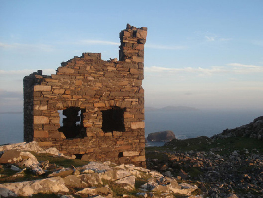
 Clare Island Signal TowerRuins · 1.1 mi
 Granuaile's CastleCastle · 2.8 mi
 Acaill BheagIsland · 5.0 mi
 Turloughbeg StrandBeach / strand · 5.7 mi
 Kildavnet CastleCastle, tower house · 6.1 mi
 Caisle án GhráinneHeritage attraction · 6.1 mi