What is recorded here
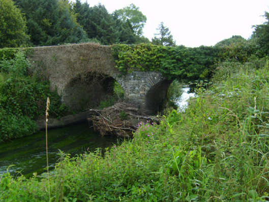
Two-arch road bridge over river, extant 1840. Creeper- or ivy-covered walls centred on triangular cutwaters to pier having pyramidal capping with overgrown coping to parapets. Pair of round arches with lichen-spotted voussoirs. Sited spanning Owenavorragh River with unkempt banks to river.
A bridge representing an integral component of the civil engineering heritage of north County Wexford.
This does not grant access. Most recorded buildings are privately owned; view them only from public ground unless the owner allows entry.
Places near here
 Banoge HillMountain / peak · 1073 yd
 Enclosure in BallinageelogeEnclosure · 1252 yd
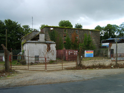 mill (water)mill (water) · 1262 yd
 Ballykale Housefarm house · 1287 yd
 Carriganeagh RockMountain / peak · 1634 yd
 High Cross of KilbrideMonument · 1.4 mi
 Courtown Amusement CentreHeritage attraction · 1.7 mi
 Courtown WoodsWood · 1.7 mi
 Holm OakHolm Oak · 1.8 mi
 IndicatedCastle, motte and bailey · 1.9 mi
 Market HouseHeritage attraction · 2.4 mi
 1798 MonumentMemorial · 2.4 mi
Other information
Photo: National Inventory of Architectural Heritage · Website use allowed for educational or private purposes with source credit