
What is recorded here
Blue plaque on Garlick Hill is shown and named in a reusable Geograph picture. The saved point is the picture's recorded map point.
The picture record does not grant public access. Use signed public paths and do not enter private land without permission.
Places near here
 Turners' HallMemorial · 14 yd
 The House of Richard WhittingtonMemorial · 20 yd
 K2 Telephone Kiosk at Junction with Queen StreetListed building · 28 yd
 22a, College Hill Ec4Listed building · 45 yd
 Tallow Chandlers' HallScheduled monument · 80 yd
 Dyers' HallScheduled monument · 106 yd
 City of London Ward of WalbrookVisitor information · 236 yd
 QueenhitheVisitor information · 273 yd
 Statue within the foyer of St Mary-le-BowMonument or public art · 274 yd
 St. Mary-Le-BowHeritage attraction · 278 yd
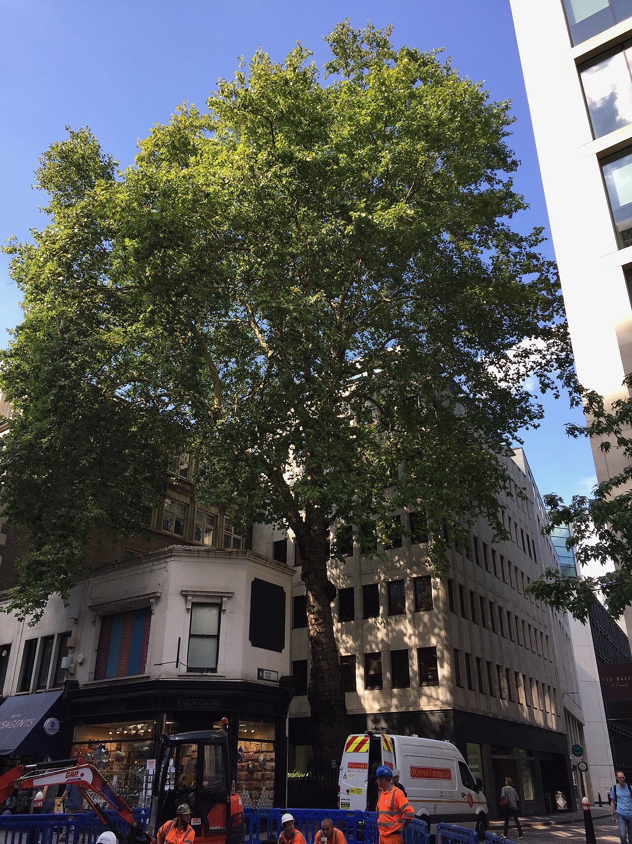 Wood Street plane treeLondon Plane · 391 yd
 2019 London Bridge stabbingstabbing attack · 482 yd
Other information
Photo: Basher Eyre · CC BY-SA 2.0