What is recorded here
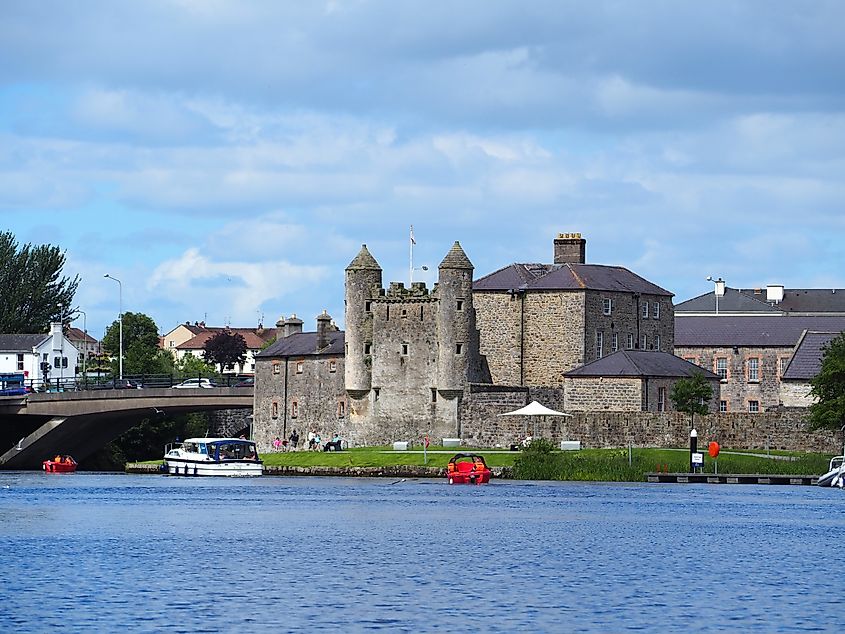
Bloody Pass marks a narrow river crossing where Enniskilleners routed a Jacobite detachment in 1689, sending men drowning into the Erne. The violence gave the water its name, while the dead went to Galloon burial ground nearby. A modern bridge spans the pass now, carrying cars over the same boundary between Cavan and Fermanagh.
Marked on all OS eds. An ancient fording point on the River Erne which forms the boundary between counties Cavan and Fermanagh. The name 'Bloody Pass' commemorates an engagement (see CV011-027----) between a small party of Enniskilleners and a detachment of King James' army, c. 31 July 1689, in which the Jacobite force was routed and many drowned while attempting the pass. The dead are said to have been buried in Galloon burial ground (CV011-016----) c. 70m to SE. A modern bridge now spans the River Erne at this location. (Davies 1948, 95; Henry 1987, 25; O'Donovan 1995, no. 1888)
Revised by: Paul Walsh
Date of upload: 15 February 2018
The monument record does not grant public access. Check the route and ask the landowner before entering private land.
- What survives
- Recorded monument
Places near here
 Small IslandIslet · 397 yd
 Galloon IslandIsland · 442 yd
 Inishfendra WoodWood · 1294 yd
 Crom Visitors CentreMuseum · 1585 yd
 Derrysteaton ForestWood · 1611 yd
 InishfendraMountain / peak · 1.0 mi
 Crom Estate (National Trust)Heritage attraction · 1.1 mi
 CASTLE (unlocated) in DoohatCASTLE (unlocated) · 1.2 mi
 Estate Trail, CromWalking route · 1.2 mi
 Old Crom Castle (Ruins)Castle · 1.3 mi
 Boat HouseBoat House · 1.6 mi
 Bridge CottageHouse · 1.7 mi