
What is recorded here
Raised circular area (int. diam. c. 20m) enclosed by a wide, low earthen bank and a shallow fosse. Slight traces of a low external bank at the outer lip of the fosse at N. Break in bank with accompanying causeway at SE represents original entrance.
The above description is derived from the published 'Archaeological Inventory of County Cavan' (Dublin: Stationery Office, 1995). In certain instances the entries have been revised and updated in the light of recent research.
Date of upload/revision: 22 December 2008
The monument record does not grant public access. Check the route and ask the landowner before entering private land.
- What survives
- Recorded monument
Places near here
 Black FortArchaeological place · 17 yd
 Killastueran Fort & Grave YardChurch · 815 yd
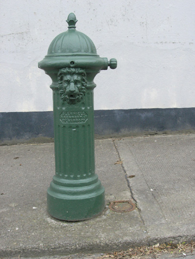 water pumpwater pump · 1.0 mi
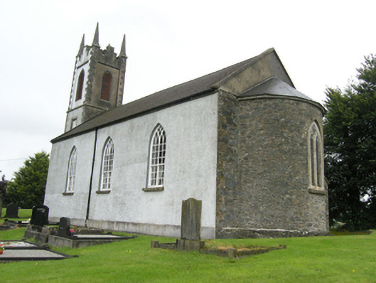 Killan Church of Ireland Churchchurch/chapel · 1.0 mi
 Green IslandIsland · 1.2 mi
 Bawn in LisdrumskeaBawn · 1.3 mi
 Sillan LakeshoreWood · 1.5 mi
 RaferaghMountain / peak · 1.5 mi
 Bush IslandIslet · 1.6 mi
 Taghart South ForestForest · 1.7 mi
 CarrickcreenyMountain / peak · 2.3 mi
 Giants GraveArchaeological place · 4.4 mi
Other information
Photo: Credit not shown in the picture search · Rights wording not checked; contact us if this picture should be removed