What is recorded here
In the first centuries after Christ, two rings of earth rose above the Magherahoney fields, shaping a fortress where people lived, argued, loved and died. The bivalate rath has vanished from modern sight, but its name still marks the ground where human hands built a defensible world.
The official Northern Ireland record identifies this as BIVALLATE RATH (SITE OF). Recorded period: E.CHRIST.. Recorded protection: Scheduled. The official map point was placed at the centre of the recorded archaeological site from the source map reference.
The monument record does not grant public access. Check the route and ask the landowner before entering private land.
- What survives
- Recorded monument
Places near here
 A.P. SITEA.P. SITE, ENCLOSURE? · 801 yd
 ENCLOSURE in AltarichardENCLOSURE · 1221 yd
 Causeway Coast and Glens Heritage TrustVisitor information · 2.2 mi
 PRE-NORMAN CHURCH & ROUND TOWER; MEDIEVAL PARISH CHURCH; POST-MEDIEVAL CHURCH & GRAVEYARD: ARMOY CHURCH & ROUND TOWER in GlebePRE-NORMAN CHURCH & ROUND TOWER; MEDIEVAL PARISH CHURCH; POST-MEDIEVAL CHURCH & GRAVEYARD: ARMOY CHURCH & ROUND TOWER · 2.3 mi
 RECTANGULAR CROPMARKRECTANGULAR CROPMARK, CASTLE?: CASTLE BANE · 2.3 mi
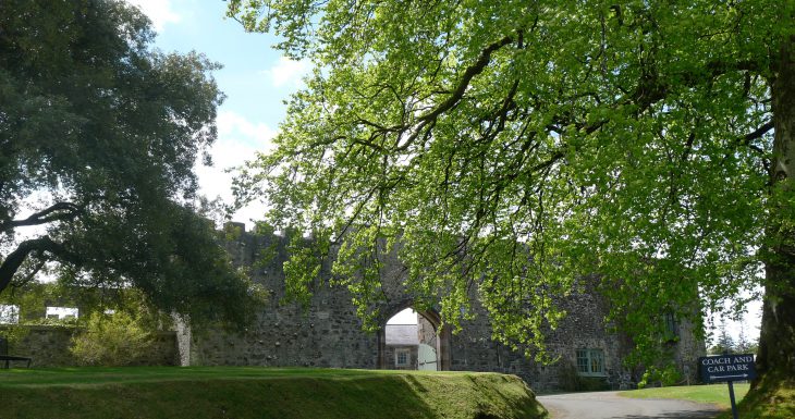 Lisanoure CastleCastle · 3.3 mi
 The Dark HedgesViewpoint · 3.7 mi
 Gracehill HouseHouse · 4.0 mi
 Breen ForestForest · 4.0 mi
 Kilmoyle WoodForest · 4.7 mi
 KnocklaydMountain / peak · 4.8 mi
 Ballylough Big HillMountain / peak · 4.9 mi