What is recorded here
Rossbeg in County Fermanagh holds a bivaliate rath, a double-walled earthwork built by human hands during the early Christian period. The nested ditches and banks suggest a settlement where defence, status or daily life collided under open sky. People may have lived, argued, buried or fled within that small circle of soil. The land still keeps the shape of their choices.
The official Northern Ireland record identifies this as BIVALLATE RATH. Recorded period: E.CHRIST.. The official map point was placed at the centre of the recorded archaeological site from the source map reference.
The monument record does not grant public access. Check the route and ask the landowner before entering private land.
- What survives
- Recorded monument
Places near here
 C17TH CHURCH & GRAVEYARD at CASTLE CALDWELL in RossbegC17TH CHURCH & GRAVEYARD at CASTLE CALDWELL · 404 yd
 Castle Caldwell ForestWood · 414 yd
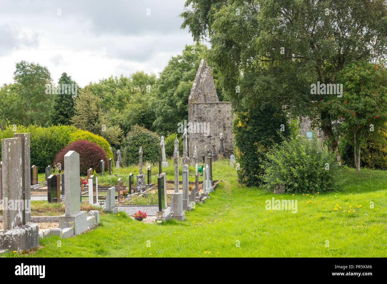 GraveyardRuins · 416 yd
 RSPB Lower Lough Erne IslandsNature reserve · 482 yd
 CASTLE: CASTLE CALDWELL in RossbegCASTLE: CASTLE CALDWELL · 724 yd
 ENCLOSUREENCLOSURE, TREE RING? · 919 yd
 Ferny IslandIsland · 1702 yd
 Rough IslandIsland · 1749 yd
 ENCLOSURE in SlawinENCLOSURE · 1.6 mi
 Old Man's HeadHeritage attraction · 3.2 mi
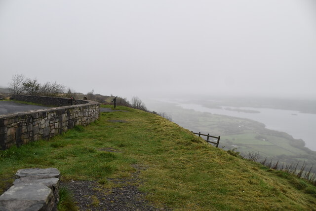 Cliffs of MaghoViewpoint · 3.3 mi
 Inishkeeragh BridgeBridge · 3.5 mi