What is recorded here
Two concentric rings of earth and stone still mark the hillside in Currin, County Fermanagh, waiting for the person stubborn enough to walk them twice. A bivallate rath is not a vague heap; it is a deliberate choice to build twice, separating inside from outside with more muscle and thought. That much remains visible long after the names and purposes have faded.
The official Northern Ireland record identifies this as BIVALLATE RATH. Recorded period: E.CHRIST.. Recorded protection: Scheduled. The official map point was placed at the centre of the recorded archaeological site from the source map reference.
The monument record does not grant public access. Check the route and ask the landowner before entering private land.
- What survives
- Recorded monument
Places near here
 RathArchaeological place · 1.6 mi
 ENCLOSUREENCLOSURE, Bivallate Rath? · 1.7 mi
 Railway Station PlatformRailway Station Structures · 2.2 mi
 The Station House, BrookeboroughHeritage attraction · 2.2 mi
 Goods ShedOutbuildings · 2.2 mi
 Leitrim WoodWood · 2.8 mi
 Mullaghnagee WoodForest · 2.9 mi
 Cloghtogle MountainMountain / peak · 3.1 mi
 Topped MountainMountain / peak · 3.4 mi
 Carrowhony Pet FarmHeritage attraction · 4.1 mi
 Belle IsleIsland · 5.9 mi
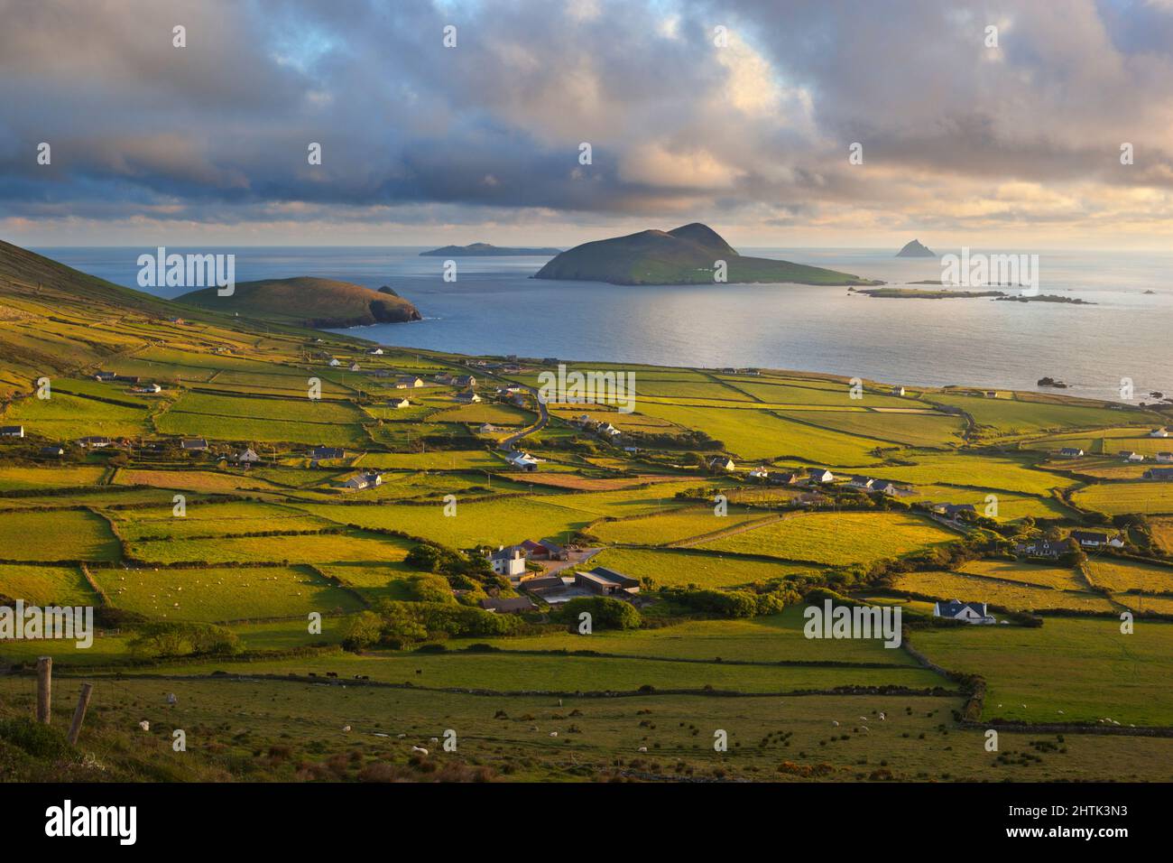 Carrickmacrourk IslandIsland · 6.5 mi