
What is recorded here
Binn idir an dá Log SE Top is recorded as a mountain / peak in County Galway. Its open map record supplies this location and any linked names or public references.
Roughly 550 meters in height, Binn idir an dá Log SE Top is part of the low mountainous terrain of the Galway-Mayo border region, characterized by ancient metamorphic rocks. The name, meaning "Peak between the two Logs" in Irish, suggests a local landscape feature or historical reference, though no prominent folklore is widely recorded. It matters as a minor but identifiable topographic feature in a sparsely documented upland area.
Places near here
 Binn idir an dá LogMountain / peak · 663 yd
 Binn MhairgMountain / peak · 1130 yd
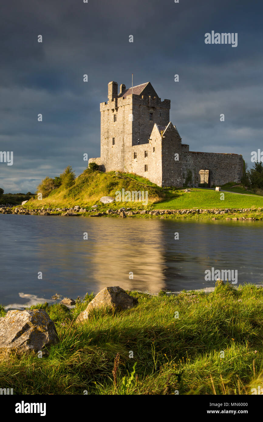 IIWayside cross · 1.5 mi
 XIIWayside cross · 1.5 mi
 St. Patricks Holy WellHoly well · 1.5 mi
 Fulacht fia in Cartrún An PhónaFulacht fia · 1.6 mi
 Lue IslandIslet · 3.1 mi
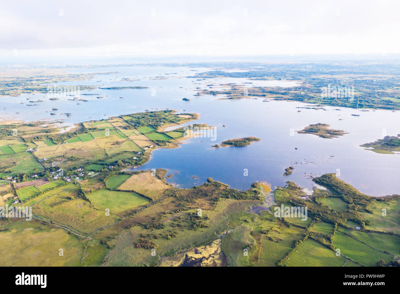 Red IslandIslet · 3.3 mi
 Derryclare Nature ReserveNature reserve · 4.1 mi
 WaterfallHeritage attraction · 4.9 mi
 Joyce Country SheepdogsHeritage attraction · 6.1 mi
 CastlekirkCastle · 6.5 mi
Other information
Photo: Credit not shown in the picture search · Rights wording not checked; contact us if this picture should be removed