What is recorded here
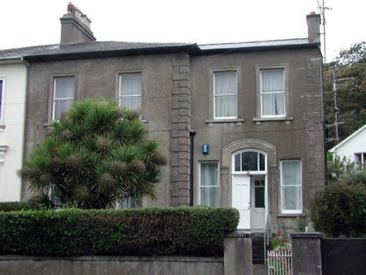
Semi-detached two-bay two-storey house, c.1860, possibly over basement retaining original aspect with two-bay two-storey recessed end bay to right (north-east). One of a pair. Hipped (shared) slate roof (pitched to end bay) with clay ridge tiles, rendered chimney stacks (one shared), and cast-iron rainwater goods on overhanging rendered eaves. Unpainted rendered walls with rendered quoins to corners. Square-headed window openings with cut-stone sills (on panelled aprons to ground floor; on consoles to first floor), and moulded rendered surrounds having entablatures over to ground floor on consoles. 1/1 timber sash windows. Segmental-headed door opening approached by flight of seven cut-stone steps with rendered pilaster surround having archivolt, timber panelled double doors, and overlight. Interior with decorative clay tile to lobby, glazed timber panelled double doors, and overlight. Set back from road in own grounds on an elevated site with landscaped forecourt having unpainted rendered boundary wall with unpainted rendered piers, and wrought iron gate.
Built as one of a pair (with 22816123/WD-26-16-123), this house has been very well maintained to present an original aspect, with the original balanced form, fine rendered detailing, and fabric largely intact, both to the exterior and to the interior. Positioned on a slightly elevated site, the house forms an elegant feature in the streetscape of Lower Branch Road and, maximising on the view overlooking Tramore Bay, attests to the development of the locality as a Victorian seaside resort in the mid to late nineteenth century.
This does not grant access. Most recorded buildings are privately owned; view them only from public ground unless the owner allows entry.
Places near here
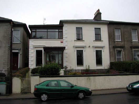 Clonarahouse · 8 yd
 Easton Househouse · 27 yd
 Tramore Tourist OfficeVisitor information · 245 yd
 Tourist InformationVisitor information · 437 yd
 Enclosure in Crobally Upper (middlethird By.)Enclosure · 740 yd
 Pit-burial in Crobally Upper (decies-Within-Drum By.)Pit-burial · 785 yd
 Cannon GunBattlefield · 1014 yd
 Doneraile WalkWalking route · 1187 yd
 Tramore Dunes WalkWalking route · 1280 yd
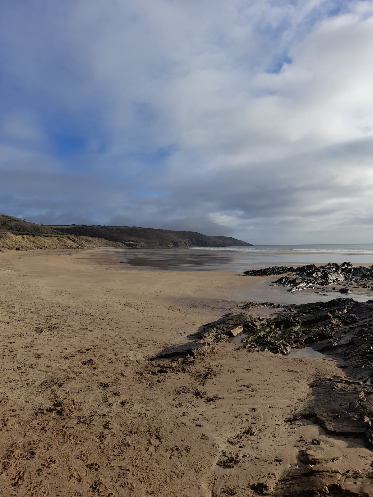
 Tramore StrandBeach / strand · 1.4 mi
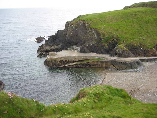 Newtown CoveBeach / strand · 1.6 mi
Other information
Photo: National Inventory of Architectural Heritage · Website use allowed for educational or private purposes with source credit