What is recorded here
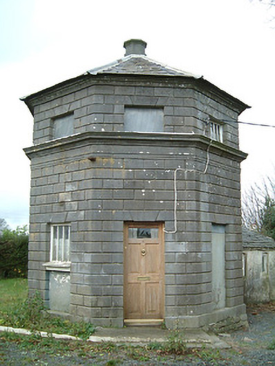
Detached single-bay two-storey Classical-style gate lodge, c.1775, on an octagonal plan with two-bay single-storey return/wing to north. Now disused. Octagonal slate roof (hipped to return/wing) with rolled lead ridge, octagonal chimney stack to apex having carved cornice, and no rainwater goods on carved cut-limestone cornice to eaves. Rusticated limestone ashlar walls with frieze to first floor supporting carved cornice, carved cornice to eaves, and painted rendered walls to return/wing over random rubble stone construction. Square-headed window openings (some blind; in camber-headed recesses to return/wing) with cut-limestone sills (forming cornice to first floor; no sills to return/wing), lintels incorporating keystones, and fixed-pane timber windows. Square-headed door opening with lintel incorporating keystone, and replacement glazed timber panelled door, c.1975. Set back from line of road in grounds shared with Belline House.
Originally intended as one of a pair flanking a central gateway (second in pair no longer extant) a modest-scale gate lodge identified on the Ordnance Survey as "The Turret" but more familiar in the locality as "The Inkbottle" forms a picturesque landmark at the entrance to the grounds of the Belline House estate. Robustly detailed in the Classical manner the construction of the gate lodge displays particularly fine stone masonry while refined dressings enhance the aesthetic aspirations of the composition. Although now disused the gate lodge has historically been well maintained to present an early aspect, thereby making a positive impression on the character of the locality.
This does not grant access. Most recorded buildings are privately owned; view them only from public ground unless the owner allows entry.
Places near here
 Rogerstown Castle (in Ruins)Castle, tower house · 703 yd
 Ponsonby Memorial TowerMonument · 877 yd
 Piltown Towermonument · 882 yd
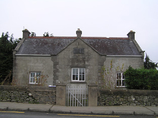 Piltown National Schoolschool · 1369 yd
 Tiberaghney CastleCastle, tower house · 1548 yd
 Font in TibberaghnyFont · 1653 yd
 Tibberaghny Standing StoneArchaeological place · 1673 yd
 St. John's WellSpring · 1.3 mi
 Lebanon CedarLebanon Cedar · 1.5 mi
 Burns WoodForest · 1.7 mi
 CarrigfenoaghMountain / peak · 2.4 mi
 Graveyard in FiddownGraveyard · 2.5 mi
Other information
Photo: National Inventory of Architectural Heritage · Website use allowed for educational or private purposes with source credit