What is recorded here
Rowantrees Hill stands in Mulladry as a post-medieval bawn, its earthworks shaping the county landscape since the seventeenth century. The name suggests rowan trees once ringed the enclosure, their red berries flashing against grey stone while people lived inside the rampart. Whether traders, farmers or fugitives built the wall, they chose a hill visible enough to warn and solid enough to trust. That much remains written in the soil, waiting for a walker to read it without explanation.
The official Northern Ireland record identifies this as BAWN: ROWANTREES HILL. Recorded period: POST-MED; C17TH. The official map point was placed at the centre of the recorded archaeological site from the source map reference.
The monument record does not grant public access. Check the route and ask the landowner before entering private land.
- What survives
- Recorded monument
Places near here
 ENCLOSURE: ANNA HILL in BallylenyENCLOSURE: ANNA HILL · 1.1 mi
 St. Matthew's ChurchChurch · 1.7 mi
 Kilmore SchoolSchool · 1.9 mi
 Richhill War MemorialMemorial · 1.9 mi
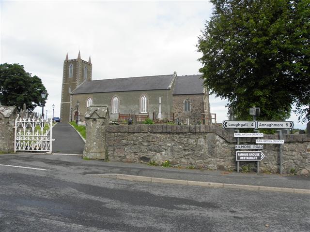 MULTIPERIOD CHURCH SITE & GRAVEYARD, Early Christian-Modern: ST. AIDAN'S, CELL MOR, CELL MOR UI NIALLAIN & MONYMcMORIERTY in KilmoreMULTIPERIOD CHURCH SITE & GRAVEYARD, Early Christian-Modern: ST. AIDAN'S, CELL MOR, CELL MOR UI NIALLAIN & MONYMcMORIERTY · 1.9 mi
 Dan Winter's cottageHeritage attraction · 3.4 mi
 Cannon HillViewpoint · 3.6 mi
 PortadownVisitor information · 3.8 mi
 Whitecoat PointHeadland · 3.8 mi
 Portadown Railway StationMemorial · 4.2 mi
 TOWER-HOUSE: TANDRAGEE CASTLE, TONREGUE in TanderageeTOWER-HOUSE: TANDRAGEE CASTLE, TONREGUE · 4.3 mi
 Loughgall Ambushterrorist attack · 4.3 mi