What is recorded here
Rathumney castle still occupies the northeast corner of a shallow rectangular bawn on a gentle Wexford slope, its southern and western edges marked only by faint scarps in the field. Tie-stones near the castle wall hint that stone once closed the space, yet the ground itself may have been the true boundary. The church lies half a kilometre east, separate enough to suggest the bawn served the castle rather than the village.
Located on a gentle W-facing slope. Rathumney castle (WX040-028001-) is at the NE corner of a bawn (dims. 38m N-S; 31m E-W) defined by slight scarps at S and W in the field to the W and evidenced by tie-stones towards the N end of the W wall of the castle, although a masonry bawn might not have been built. Rathumney church site (WX040-029001-) is c. 350m to the ESE.
Compiled by: Michael Moore
Date of upload: 21 February, 2013
The monument record does not grant public access. Check the route and ask the landowner before entering private land.
- What survives
- Recorded monument
Places near here
 Rathumney Castle (in ruins)Castle, hall-house · 14 yd
 St. Margarets WellHoly well · 144 yd
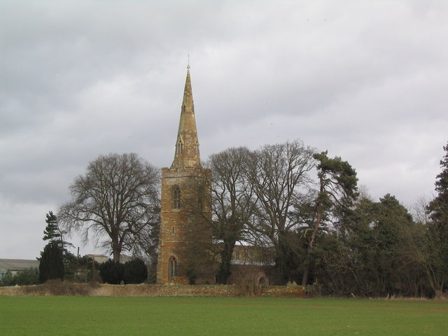 Site of ChurchChurch · 398 yd
 bridgebridge · 1715 yd
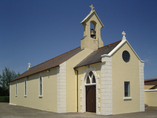 Catholic Church of Saint John the Baptistchurch/chapel · 1.0 mi
 Castle (in ruins)Castle, unclassified · 1.4 mi
 Tinnock RockNamed rock · 2.1 mi
 Campile WWII Bombing MemorialMemorial · 2.9 mi
 Dunbrody Abbey Visitor CentreHeritage attraction · 3.5 mi
 Dunbrody Abbey Hedge MazeHeritage attraction · 3.6 mi
 SlievecoiltiaMountain / peak · 3.9 mi
 Common WhitebeamCommon Whitebeam · 4.4 mi