
What is recorded here
Mortons Bawn, a walled enclosure on the western edge of Grangeclare, may have marked a castle or manor house before the landscape changed. Its boundary still shadows the field, though no tower or hall remains visible. The land has been worked, rebuilt and forgotten, yet the name preserves the shape of a lost residence.
On the possible site of an unclassified castle (KD013-02----). A shallow L-shaped fosse (Wth 4-6m; D 0.2-0.5m) is traceable for c. 60m running in a NW-SE direction and then right-angling at the SE end to run a further c. 80m NE. It is infilled with a loose, dark, rich organic material which may have come from one of the several garden centres in the area. In 2004, archaeological test-trenching (Licence No. 04E0368) in advance of the construction of a private dwelling house immediately to the W, and its associated driveway to the S, revealed no archaeological deposits. (Purcell 2007, 197 (No. 823))
Compiled by: Gearóid Conroy
Date of upload: 10 June 2011
The monument record does not grant public access. Check the route and ask the landowner before entering private land.
- What survives
- Recorded monument
Places near here
 Site of ChurchChurch · 704 yd
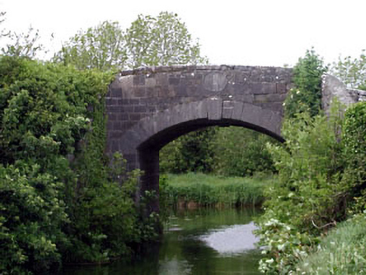 Huband Bridgebridge · 1003 yd
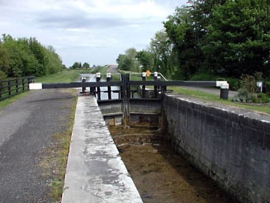 19th Locklock · 1091 yd
 Enclosure in Lowtown (kilmeage South Ed)Enclosure · 1221 yd
 Kilmeague CastleRuins · 1750 yd
 Grand Canal WayVisitor information · 1.8 mi
 Hill of AllenMountain / peak · 2.1 mi
 Blackwood Castle (in ruins)Castle, tower house · 2.8 mi
 Killina BogWood · 3.9 mi
 Ballynafagh Bog Special Area of ConservationNature reserve · 3.9 mi
 Lullymore Heritage ParkHeritage attraction · 4.1 mi
 Bithia Mary CrokerMemorial · 6.5 mi
Other information
Photo: Credit not shown in the picture search · Rights wording not checked; contact us if this picture should be removed