What is recorded here
Bawn in Ballyellin AND Tomdarragh is a rectangular enclosure measuring fifty by forty metres within a field system in County Carlow. It may be the remains of a bawn belonging to a castle shown on the Down Survey map of 1655-6. The stones likely marked a defensible boundary where people lived, worked and watched the land. That much is clear; the rest is guesswork.
Rectangular enclosure (50m x 40m) within field system (CW019-081001-). This may represent the remains of a bawn associated with the castle (CW019-071----) shown on the Down Survey (1655-6) map.
Compiled by: Claire Breen
Date of upload: 25 January 2012
The monument record does not grant public access. Check the route and ask the landowner before entering private land.
- What survives
- Recorded monument
Places near here
 Ballyellin Church (in ruins)Church · 172 yd
 Grave Yd.Graveyard · 181 yd
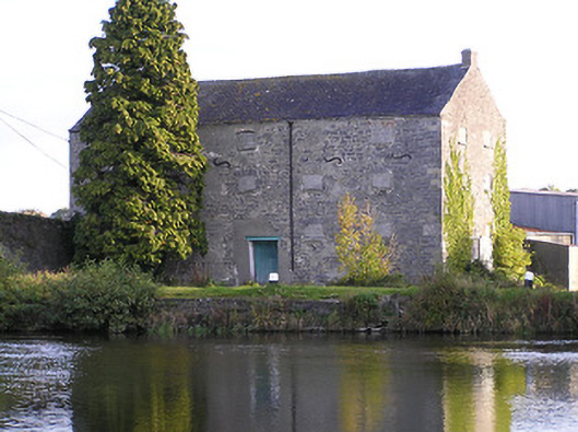 store/warehousestore/warehouse · 664 yd
 Druid's AltarArchaeological place · 1071 yd
 Lord Galmoys Catle (in ruins)Castle, unclassified · 1.5 mi
 Drumroe Castle (ruins)Castle · 1.8 mi
 Tinnakeenly BogForest · 3.1 mi
 The bogForest · 3.1 mi
 Church (in ruins), GraveyardChurch · 4.4 mi
 Lock Keeper's House and Lodge MillsVisitor information · 5.0 mi
 The Columban WayVisitor information · 5.0 mi
 Kilcullaun Church (in ruins), GraveyardChurch · 5.9 mi