What is recorded here
Captain Culme and Walter Talbot were granted 1500 acres in this area during the reign of James I. According to Pynnar's survey of 1619 there was a strong three-storey castle and a bawn with two flanking towers here. This castle was entirely destroyed by accidental fire and a house built on its site by G. Mountgomery Esq, in 1764. (Lewis 1837, vol. 1, 130). Pre-development testing (04E1300) in 2004 revealed a substantial wall( L 10m, H 0.5m-0.7m, Wth 1m). The stone is well coursed and is bonded with a white lime mortar (Read 2007m).
The above description is derived from the published 'Archaeological Inventory of County Cavan' (Dublin: Stationery Office, 1995). In certain instances the entries have been revised and updated in the light of recent research.
Date of revision: 13 April 2016
Captain Culme and Walter Talbot were granted land in the area in the early 17th century during the reign of James I, and by 1619 a strong three-storey castle with a bawn and flanking towers was recorded, reflecting early 17th-century plantation architecture and English settlement in Ireland.
The monument record does not grant public access. Check the route and ask the landowner before entering private land.
- What survives
- Recorded monument
Places near here
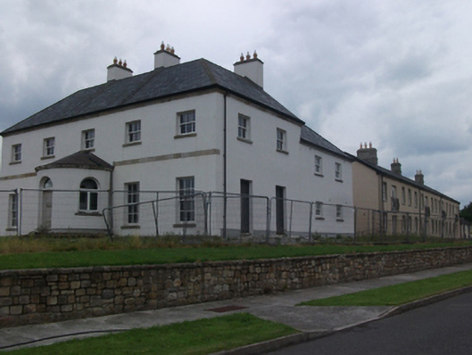 Ballyconnell Housecountry house · 48 yd
 Kieran Doherty TD Cavan Monaghan MemorialMonument · 147 yd
 Ballyconnell Market Housemarket house · 227 yd
 Court tomb in Doon (ballyconnell Ed)Court tomb · 664 yd
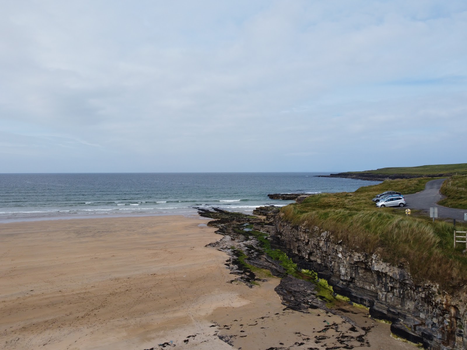 Carrowmore Lecharrownahone ForestForest · 1620 yd
 Bray WoodWood · 1654 yd
 Swallow HoleCave · 1.6 mi
 Church HillMountain / peak · 1.6 mi
 ENCLOSURE in GortineddanENCLOSURE · 1.8 mi
 KnockateggalMountain / peak · 2.1 mi
 CrannodIslet · 2.4 mi
 Killycluggin StoneVisitor information · 2.8 mi