What is recorded here
Cloghore and Corlea both carry battlefield names, yet neither has a clear date or event attached. The land itself may still hold the shape of the fight, even if the names and dates were lost. What is known is that both places were marked as battlefields, and that marking changed how people saw the ground.
The Archaeological Survey of Ireland (ASI) is in the process of providing information on all monuments on The Historic Environment Viewer (HEV). Currently the information for this record has not been uploaded. To access available information for research purposes please make an appointment in advance with the Archive Unit (open Fridays 10.00 am – 5.00 pm), Department of Housing, Local Government and Heritage, The Custom House, Dublin 1 D01W6XO or email NMarchive@housing.gov.ie.
The monument record does not grant public access. Check the route and ask the landowner before entering private land.
- What survives
- Recorded monument
Places near here
 Tetunny Church (Site of)Church · 31 yd
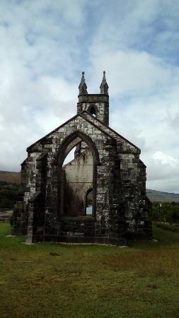 Old ChurchRuins · 36 yd
 Cliff Generating Stationhydroelectric power station · 97 yd
 Tetunny WellHoly well · 157 yd
 Belleek Pottery MuseumMuseum · 1090 yd
 Belleek PotteryHeritage attraction · 1149 yd
 Castle in ruinsCastle, unclassified · 2.1 mi
 PLANTATION CASTLE: MAGHERAMEENAGH CASTLE in MagherameenaghPLANTATION CASTLE: MAGHERAMEENAGH CASTLE · 2.7 mi
 HawthornHawthorn · 3.9 mi
 St Anne's Church GraveyardGraveyard · 3.9 mi
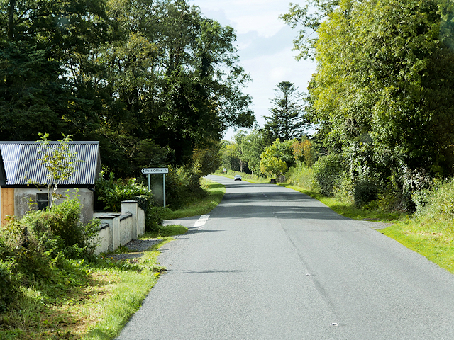 Rosscor IslandIsland · 4.0 mi
 InishkeenIslet · 4.2 mi