What is recorded here
Mortars and bullets split the air above Banagher, Kildalton, Belline and Rogerstown, turning ordinary fields into killing grounds. Men and women lived beside that violence, marking danger by memory rather than warning signs. The area still carries the shape of that conflict, preserving the moment when locality became a battlefield.
The Archaeological Survey of Ireland (ASI) is in the process of providing information on all monuments on The Historic Environment Viewer (HEV). Currently the information for this record has not been uploaded. To access available information for research purposes please make an appointment in advance with the Archive Unit (open Fridays 10.00 am – 5.00 pm), Department of Housing, Local Government and Heritage, The Custom House, Dublin 1 D01W6XO or email NMarchive@housing.gov.ie.
The monument record does not grant public access. Check the route and ask the landowner before entering private land.
- What survives
- Recorded monument
Places near here
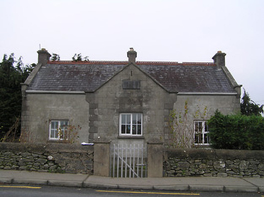 Piltown National Schoolschool · 343 yd
 Piltown Towermonument · 555 yd
 Ponsonby Memorial TowerMonument · 558 yd
 Font (present location) in KildaltonFont (present location) · 996 yd
 Rogerstown Castle (in Ruins)Castle, tower house · 1134 yd
 St. John's WellSpring · 1381 yd
 Font in TibberaghnyFont · 1402 yd
 Tiberaghney CastleCastle, tower house · 1478 yd
 Lebanon CedarLebanon Cedar · 1683 yd
 Graveyard in FiddownGraveyard · 1.7 mi
 Fiddown IslandIslet · 1.8 mi
 Tower HillMountain / peak · 2.1 mi