What is recorded here
Killard Lower and Killard Upper hide an unlocated battle site, preserving a violent event without revealing whether it belonged to humans, horses or something else entirely. The absence of a precise marker does not diminish the danger; it widens the chamber where imagination must complete what measurement refused. People may have bled there, chariots may have broken, or the land itself may have fought back against intrusion. The missing point becomes the essence, forcing every participant to supply the shape of the wound with memory, fear or desire.
The official Northern Ireland record identifies this as BATTLE SITE (unlocated). Recorded period: UNCERTAIN. The official map point was placed at the centre of the recorded archaeological site from the source map reference.
The monument record does not grant public access. Check the route and ask the landowner before entering private land.
- What survives
- Recorded monument
Places near here
 MEDIEVAL CHURCH RENLES in Killard UpperMEDIEVAL CHURCH RENLES · 1099 yd
 A.P. SITEA.P. SITE, oval enclosure · 1622 yd
 Ballyhornan Picnic SitePicnic place · 1674 yd
 MEDIEVAL CHURCH (unlocated): ABBOT-GRANGE in BallywoodanMEDIEVAL CHURCH (unlocated): ABBOT-GRANGE · 1.0 mi
 Mullog PointHeadland · 1.1 mi
 Guns IslandIslet · 1.3 mi
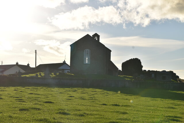 ANGLO-NORMAN COFFIN LIDS (2) (in C. of I. church) & site of MEDIEVAL CHURCH in KilcliefANGLO-NORMAN COFFIN LIDS (2) (in C. of I. church) & site of MEDIEVAL CHURCH · 1.5 mi
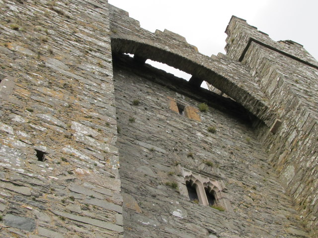 TOWER-HOUSE & C13th COFFIN LID: KILCLIEF CASTLE in KilcliefTOWER-HOUSE & C13th COFFIN LID: KILCLIEF CASTLE · 1.5 mi
 Kilclief CastleCastle · 1.5 mi
 Kilclief BeachBeach / strand · 1.5 mi
 Strangford Holiday Park Picnic AreaPicnic place · 2.1 mi
 Ballyquintin Point Nature ReserveNature reserve · 2.2 mi