What is recorded here
Dromore broke in 1689 when opposing forces collided across the Ballymacormick and Ballyvicknacally lands. The battle belonged to the wider 1689 conflict in Ireland, and the ground still carries that event. Men may have bled into the soil, and the names may have vanished from memory, but the place remains marked as a battle site.
The official Northern Ireland record identifies this as BATTLE SITE, 1689: THE BREAK OF DROMORE. Recorded period: C17TH; POST-MED. The official map point was placed at the centre of the recorded archaeological site from the source map reference.
The monument record does not grant public access. Check the route and ask the landowner before entering private land.
- What survives
- Recorded monument
Places near here
 Dromore Motte and BaileyArchaeological place · 453 yd
 Methodist ChurchChurch · 472 yd
 War MemorialMemorial · 476 yd
 Downshire BridgeBridge · 573 yd
 St.Colman's Cathedral, on site of PRE-NORMAN MONASTERY & MEDIEVAL CATHEDRAL, with CROSS CARVED STONE in DromoreSt.Colman's Cathedral, on site of PRE-NORMAN MONASTERY & MEDIEVAL CATHEDRAL, with CROSS CARVED STONE · 668 yd
 TOWER-HOUSE: DROMORE CASTLE in DromoreTOWER-HOUSE: DROMORE CASTLE · 679 yd
 Dromore CastleCastle · 680 yd
 Dromore ViaductHeritage attraction · 1292 yd
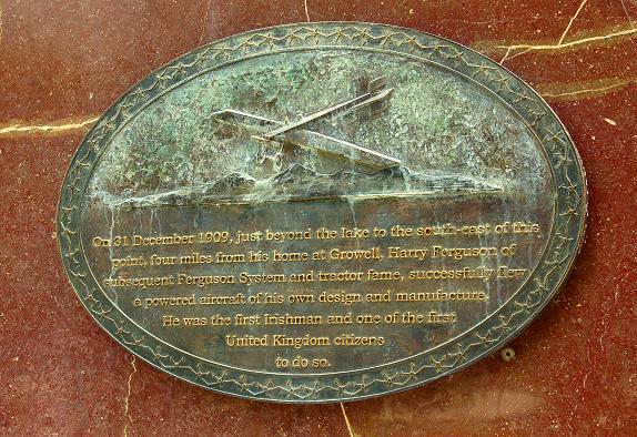 Harry FergusonMemorial · 3.8 mi
 Lake TrailWalking route · 3.9 mi
 Hillsborough FortVisitor information · 3.9 mi
 Hillsborough Forest ParkForest · 4.1 mi