What is recorded here
In the year 1095, a battle raged on the unmarked soil of Derryaghy, leaving behind no monument but the memory of violence written into the earth itself. The exact location has been lost to time, yet the date remains sharp, a reminder that human conflict often outlives the shapes it creates. Perhaps the ground still carries the weight of that forgotten clash, waiting for someone to listen beneath the grass.
The official Northern Ireland record identifies this as BATTLE SITE, 1095 (unlocated). Recorded period: E.C./MED. The official map point was placed at the centre of the recorded archaeological site from the source map reference.
The monument record does not grant public access. Check the route and ask the landowner before entering private land.
- What survives
- Recorded monument
Places near here
 MODERN CHURCH & WELL on site of MEDIEVAL CHURCH: ARDRACHI, AIREARACHAID in DerryaghyMODERN CHURCH & WELL on site of MEDIEVAL CHURCH: ARDRACHI, AIREARACHAID · 169 yd
,_Derriaghy_(1)_-_geograph.org.uk_-_2990104.jpg?width=1280) Christ Church of IrelandChurch · 170 yd
Christ Church of IrelandChurch · 170 yd ENCLOSURE in DerryaghyENCLOSURE · 243 yd
 Wolfenden's BridgeBridge · 1531 yd
 Lagan TowpathWalking route · 1.9 mi
 CollinMountain / peak · 1.9 mi
 Lisburn War MemorialMemorial · 2.1 mi
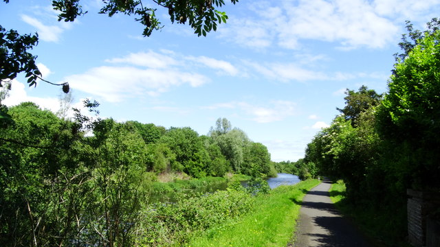 Lagan Valley IslandIsland · 2.1 mi
 The Wallace MemorialMemorial · 2.1 mi
 CASTLE later ARTILLERY FORT (site of) & GATE: LISBURN CASTLE, CASTLE GARDENS, LISNAGARVEY in LisburnCASTLE later ARTILLERY FORT (site of) & GATE: LISBURN CASTLE, CASTLE GARDENS, LISNAGARVEY · 2.1 mi
 Linen Centre and MuseumMuseum · 2.1 mi
 Welcome to Lagan Valley Regional ParkVisitor information · 2.2 mi