What is recorded here
Dysert O Dea in County Clare became a battlefield in 1318, though the exact factions and outcome have faded from local memory. The name suggests a desert or barren place, yet battlefields are rarely empty; they absorb violence and return it later as story. What is missing is not nothing. It is a invitation to listen for what the land kept when people stopped repeating it.
The Archaeological Survey of Ireland (ASI) is in the process of providing information on all monuments on The Historic Environment Viewer (HEV). Currently the information for this record has not been uploaded. To access available information for research purposes please make an appointment in advance with the Archive Unit (open Fridays 10.00 am – 5.00 pm), Department of Housing, Local Government and Heritage, The Custom House, Dublin 1 D01W6XO or email NMarchive@housing.gov.ie.
The monument record does not grant public access. Check the route and ask the landowner before entering private land.
- What survives
- Recorded monument
Places near here
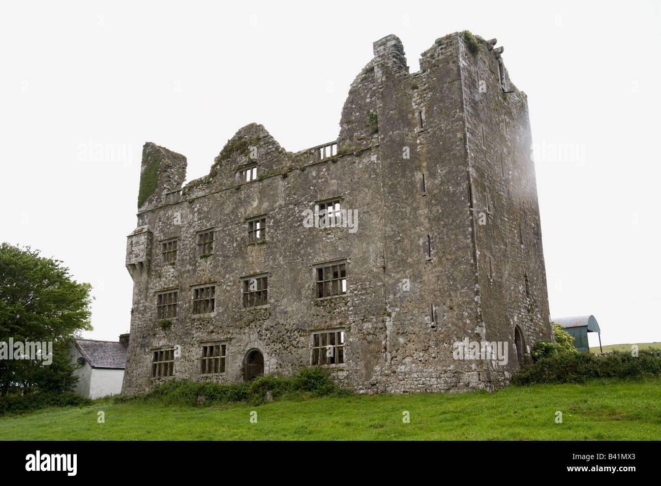 IndicatedFairy fort / stone ringfort · 368 yd
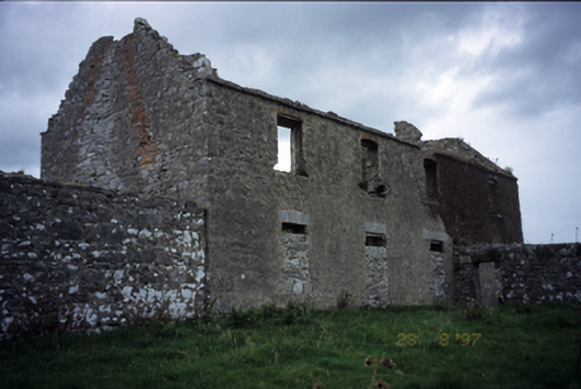 Mollaneen Housefarm house · 956 yd
 Bawn in Dysert (inchiquin By.)Bawn · 965 yd
 O'Dea CastleCastle · 977 yd
 St. Tolas CrossCross, High cross · 1061 yd
 Wall monument in MollaneenWall monument · 1191 yd
 Ballygriffy WoodWood · 2.2 mi
 Battle of TullyodeaBattlefield · 2.4 mi
 Rock IslandIsland · 2.9 mi
 Inchiquin IslandIslet · 3.0 mi
 Ardcarney WoodWood · 3.2 mi
 Fergus River CaveCave · 5.0 mi