What is recorded here
On the W side of Lamb Island and just N of the ford which was replaced by a bridge in 1757. It is also c. 130m NE of the Napoleonic-era battery (RO56-016----) which formed the later, unrelated, defences. This is a rectangular grass-covered area with some bushes (dims 23m E-W; 20.5m N-S) defined by fosses at N (Wth of top 5.8m; Wth of base 2.5m; int. D 0.8m; ext. D 1.2m) and S (Wth of top 5.8m; Wth of base 2.5m; int. D 1m; ext. D 0.6m), and by earthen banks at E (Wth 2.6m; H 0.4m) and W (Wth 7m; int. H 1m; ext. H 1.6m). In plan the fosses are indented at the centre so that there are small corner bastions, and there is a raised platform (Wth 6.5m; H 0.7m) inside the bank at W, which has two double-splayed openings (min. Wth 1.2-1.5m) through the W bank for artillery.
Compiled by: Michael Moore
Date of upload: 24 August 2010
The monument record does not grant public access. Check the route and ask the landowner before entering private land.
- What survives
- Recorded monument
Places near here
 Shannon Bridgebridge · 150 yd
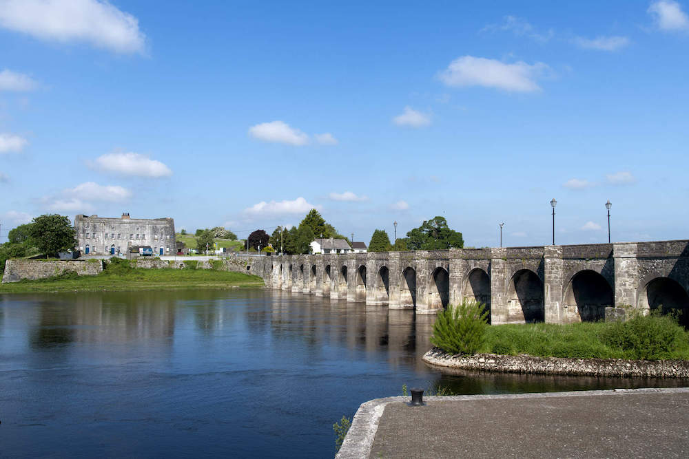 Shannon Br.Bridge · 162 yd
 Shannonbridge - Nearby AttractionsVisitor information · 257 yd
 BarracksCastle, unclassified · 275 yd
 Long IslandIsland · 469 yd
 Sugarloaf HillMountain / peak · 1736 yd
 Split HillMountain / peak · 1.8 mi
 Devenish IslandIsland · 1.9 mi
 Cloonburren MoteCastle, motte and bailey · 2.0 mi
 Cross in CloonburrenCross · 2.2 mi
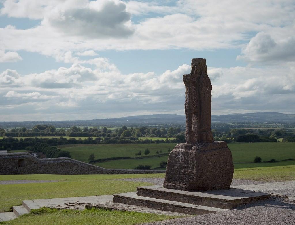 Cross (present location) in CloonburrenCross (present location) · 2.3 mi
 Clonfert CathedralHeritage attraction · 2.8 mi