
What is recorded here
Embedded three-stage battery, built 1908, having two first-stage five-bay underground entrances, two flanking second-stage circular gun emplacements, one third-stage lookout tower and four-bay single-storey buildings to front (west) and rear. Now disused. Flat concrete roofs. Rendered walls with recesses and flights of steps. Square-headed openings with concrete sills. Square-headed door openings. Smaller concrete structures to rear (east). Surrounded by earth embankments.
This defensive feature is typical of batteries constructed on Bere Island at the beginning of the twentieth century. Distinctive elements of this particular battery include the circular gun emplacements. The discreet positioning of the battery in the landscape allows it to be unobtrusive. Bere Island was recognized as being of great strategic importance following an attempted French invasion of Ireland in 1796. The British built four Martello Towers and a signal tower on the island, as part of a chain of defence along the coast, in anticipation of any further attempts. In 1898 the east end of the island was compulsory purchased by the War Department and fortifications were built to protect British Dreadnoughts when they were in port. Accommodation for officers and men, along with store houses and other ancillary buildings were also constructed at this time. Additional works were undertaken in the first part of the twentieth century. Under the terms of the Anglo-Irish Treaty in 1921, the deep water port at Bere Island, along with those at Cobh and Lough Swilly remained in British control until 1938.
This does not grant access. Most recorded buildings are privately owned; view them only from public ground unless the owner allows entry.
Places near here
 Ardnakinna West Island LoopWalking route · 397 yd
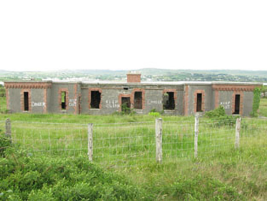 officer's houseofficer's house · 465 yd
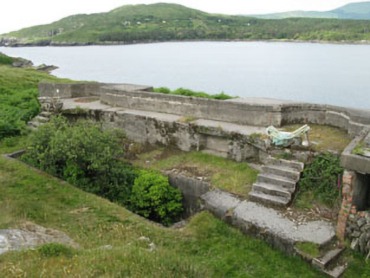 batterybattery · 470 yd
 Children's burial ground in DerrycreeveenChildren's burial ground · 663 yd
 Burial ground in DerrycreeveenBurial ground · 1026 yd
 Sheep IslandsIslet · 1280 yd
 Siege of Dunboysiege · 1321 yd
 DoonigarPromontory fort, coastal · 1336 yd
 Castle (in Ruins)Castle, tower house · 1377 yd
 Dunboy CastleRuins · 1377 yd
 TraneenBeach / strand · 1630 yd
 Dunboy WoodForest · 1650 yd
Other information
Photo: National Inventory of Architectural Heritage · Website use allowed for educational or private purposes with source credit